|
search place name
|
||
Ban Na Phak Hom (Nakhon Phanom, Thailand)Ban Na Phak Hom is a town in the Nakhon Phanom region of Thailand. An overview map of the region around Ban Na Phak Hom is displayed below.
regional and 3d topo map of Ban Na Phak Hom, Thailand ::

Ban Na Phak Hom airports ::
The nearest airport is SNO - Sakon Nakhon, located 57.3 km south west of Ban Na Phak Hom.
Other airports nearby include ZVK - Savannakhet (104.6 km south), UTH - Udon Thani (189.2 km west), Nearby towns ::
Ban Na Nai (2.6km north west) //
Ban Woen Phra Bat (6.5km south east) //
Ban Na Nai (6.5km south west) //
Ban Chiang Yun (6.5km south east) //
Ban Na Khae (7.1km east) //
Ban Phon Bok (7.3km west) //
Ban Klang (7.6km north) //
Ban Khan (7.6km north) //
Ban Kham Tia Noi (7.3km west) //
Amphoe Tha Uthen (7.7km north west) //
Ban Tha Champa (7.7km north west) //
Ban Kasoem (8.2km north east) //
Ban Na Khamin (9.0km north west) //
[all distances 'as the bird flies' and approximate] 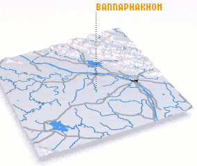 Places with similar names to Ban Na Phak Hom, Thailand ::
// Ban Noi Pho Kham (TH)
// Ban Phai Khom (1) (TH)
// Ban Phu Kham (TH)
// Ban Phu Kham (TH)
// Ban Phu Khiam (1) (TH)
// Ban Phakham (LA)
// Ban Phakham (LA)
// Ban Pha Khom (LA)
// Ban Phakhom (LA)
// Ban Phia Kham (LA)
Disclaimer :: Information on this page comes without warranty of any kind |
||
|
Where is Ban Na Phak Hom? Elevation and coordinates ::
Latitude (lat): 17°29'0"N Longitude (lon): 104°34'0"E
Elevation (approx.): 174m (map arrows pan, magnifying glasses zoom) |
||
|
Visiting Ban Na Phak Hom? Hotel/Accommodation ::
Book a hotel in Ban Na Phak Hom Travel Guide ::
Buy a travel guide for Thailand rental cars ::
car rental offers GPS waypoint ::
download a GPX waypoint (PoI) of Ban Na Phak Hom for your GPS receiver
|
||