|
search place name
|
||
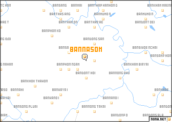
Ban Na Som (Sakon Nakhon, Thailand)Ban Na Som is a town in the Sakon Nakhon region of Thailand. An overview map of the region around Ban Na Som is displayed below.
regional and 3d topo map of Ban Na Som, Thailand ::
Ban Na Som airports ::
The nearest airport is SNO - Sakon Nakhon, located 57.3 km south of Ban Na Som.
Other airports nearby include UTH - Udon Thani (133.3 km west), ZVK - Savannakhet (150.1 km south east), VTE - Vientiane Wattay Intl (155.6 km west), Nearby towns ::
Ban Na Dok Mai (1.8km east) //
Ban Tham Tao (2.6km south west) //
Ban Don Thoi (3.7km south) //
Ban Phon Ngam (4.0km south west) //
Ban Sao Wat (4.0km north west) //
Ban Dong San (4.1km north east) //
Ban Khao Paeng (5.6km west) //
Ban Tha Rae (7.6km north) //
Ban Tha Kon (8.2km north west) //
Ban Nong Phu (8.0km south east) //
Ban Wa Yai (9.1km south west) //
Ban Phon Ko (9.0km north west) //
[all distances 'as the bird flies' and approximate] 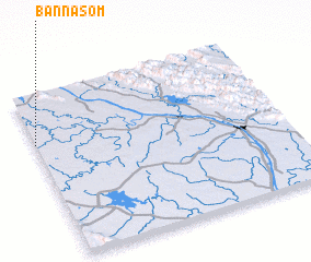 Places with similar names to Ban Na Som, Thailand ::
// Ban Na Sam (TH)
// Ban Na Sam (TH)
// Ban Na Som (TH)
// Ban Na Som (TH)
// Ban Na Sum (TH)
// Ban Sa-iam (TH)
// Ban Sai Ma (TH)
// Ban Sai Mai (TH)
// Ban Sam (TH)
// Ban Sam (TH)
Disclaimer :: Information on this page comes without warranty of any kind |
||
|
Where is Ban Na Som? Elevation and coordinates ::
Latitude (lat): 17°42'0"N Longitude (lon): 104°0'0"E
Elevation (approx.): 157m (map arrows pan, magnifying glasses zoom) |
||
|
Visiting Ban Na Som? Hotel/Accommodation ::
Book a hotel in Ban Na Som Travel Guide ::
Buy a travel guide for Thailand rental cars ::
car rental offers GPS waypoint ::
download a GPX waypoint (PoI) of Ban Na Som for your GPS receiver
|
||