|
search place name
|
||
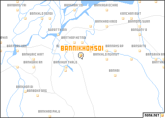
Ban Nikhom Soi (Surat Thani, Thailand)Ban Nikhom Soi is a town in the Surat Thani region of Thailand. An overview map of the region around Ban Nikhom Soi is displayed below.
regional and 3d topo map of Ban Nikhom Soi, Thailand ::
Ban Nikhom Soi airports ::
The nearest airport is NST - Nakhon Si Thammarat Cha Ian, located 93.7 km south east of Ban Nikhom Soi.
Other airports nearby include HKT - Phuket Intl (157.7 km south west), TST - Trang (176.3 km south), Nearby towns ::
Ban Thung Yai (2.6km north east) //
Ban Tha Phet (3.7km north) //
Ban Khun Thale (4.1km south west) //
Ban Tha Kup (4.1km north west) //
Ban Tha Phet Noi (4.1km north west) //
Ban Khuan Waeng (4.6km south west) //
Ban Khlong Krut (5.5km east) //
Ban Thap Sathon (5.8km east) //
Ban Nam Sap (7.6km east) //
Ban Bo Thong (7.6km north) //
Surat Thani (7.8km north west) //
Ban Mai (8.2km south east) //
Ban Khao Kaeo (9.2km north east) //
[all distances 'as the bird flies' and approximate] 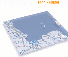 Places with similar names to Ban Nikhom Soi, Thailand :: Disclaimer :: Information on this page comes without warranty of any kind |
||
|
Where is Ban Nikhom Soi? Elevation and coordinates ::
Latitude (lat): 9°5'0"N Longitude (lon): 99°22'0"E
Elevation (approx.): 30m (map arrows pan, magnifying glasses zoom) |
||
|
Visiting Ban Nikhom Soi? Hotel/Accommodation ::
Book a hotel in Ban Nikhom Soi Travel Guide ::
Buy a travel guide for Thailand rental cars ::
car rental offers GPS waypoint ::
download a GPX waypoint (PoI) of Ban Nikhom Soi for your GPS receiver
|
||