|
search place name
|
||
Ban Nong Bua (1) (Sukhothai, Thailand)Ban Nong Bua (1) is a town in the Sukhothai region of Thailand. An overview map of the region around Ban Nong Bua (1) is displayed below.
regional and 3d topo map of Ban Nong Bua (1), Thailand ::

Ban Nong Bua (1) airports ::
The nearest airport is PHS - Phitsanulok, located 40.6 km east of Ban Nong Bua (1).
Other airports nearby include PRH - Phrae (148.3 km north), LPT - Lampang (166.3 km north), LOE - Loei (205.8 km east), Nearby towns ::
Ban Nam Ruang (4.1km north west) //
Ban Matum (5.1km north east) //
Ban Nong Kok (5.1km north west) //
Ban Hang Talat (6.6km north west) //
Ban Khui Khwang (7.1km east) //
Ban Riang Kradok (8.0km north east) //
[all distances 'as the bird flies' and approximate] 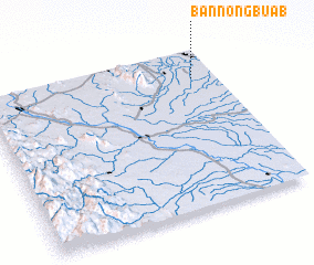 Places with similar names to Ban Nong Bua (1), Thailand ::
// Ban Nong Bo (1) (TH)
// Ban Nong Bua (1) (TH)
// Ban Nong Bua (1) (TH)
// Ban Nong Bua (1) (TH)
// Ban Nong Bua (1) (TH)
// Ban Nong Bua (1) (TH)
// Ban Nong Bua (1) (TH)
// Ban Nong Bua (1) (TH)
// Ban Nong Bua (1) (TH)
// Ban Nong Bua (1) (TH)
Disclaimer :: Information on this page comes without warranty of any kind |
||
|
Where is Ban Nong Bua (1)? Elevation and coordinates ::
Latitude (lat): 16°49'0"N Longitude (lon): 99°54'0"E
Elevation (approx.): 44m (map arrows pan, magnifying glasses zoom) |
||
|
Visiting Ban Nong Bua (1)? Hotel/Accommodation ::
Book a hotel in Ban Nong Bua (1) Travel Guide ::
Buy a travel guide for Thailand rental cars ::
car rental offers GPS waypoint ::
download a GPX waypoint (PoI) of Ban Nong Bua (1) for your GPS receiver
|
||