|
search place name
|
||
Ban Nong Phikun (Nakhon Sawan, Thailand)Ban Nong Phikun is a town in the Nakhon Sawan region of Thailand. An overview map of the region around Ban Nong Phikun is displayed below.
regional and 3d topo map of Ban Nong Phikun, Thailand ::

Ban Nong Phikun airports ::
The nearest airport is BKK - Bangkok Intl, located 156.7 km south of Ban Nong Phikun.
Other airports nearby include PHS - Phitsanulok (162.9 km north), NAK - Nakhon Ratchasima Khorat (183.6 km east), Nearby towns ::
Ban Khao Khwang (4.1km south east) //
Ban Chon Dua (5.1km south west) //
Ban Nong Salao (5.7km east) //
Ban Nong Yai (7.4km east) //
Ban Nong Yai (7.6km south) //
Ban Nong Sakae (7.7km south west) //
Ban Khao Bai Mai (8.1km south west) //
Ban Khao Phu Luang (9.1km south west) //
Ban Hua Khao (9.1km south west) //
Ta Khli (10.3km south west) //
[all distances 'as the bird flies' and approximate] 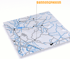 Places with similar names to Ban Nong Phikun, Thailand ::
// Ban Nong Phai Kaen (TH)
// Ban Nong Phak Nao (TH)
Disclaimer :: Information on this page comes without warranty of any kind |
||
|
Where is Ban Nong Phikun? Elevation and coordinates ::
Latitude (lat): 15°19'0"N Longitude (lon): 100°25'0"E
Elevation (approx.): 97m (map arrows pan, magnifying glasses zoom) |
||
|
Visiting Ban Nong Phikun? Hotel/Accommodation ::
Book a hotel in Ban Nong Phikun Travel Guide ::
Buy a travel guide for Thailand rental cars ::
car rental offers GPS waypoint ::
download a GPX waypoint (PoI) of Ban Nong Phikun for your GPS receiver
|
||