|
search place name
|
||
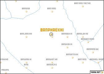
Ban Phae Khi (Thailand)Ban Phae Khi is a town in Thailand. An overview map of the region around Ban Phae Khi is displayed below.
regional and 3d topo map of Ban Phae Khi, Thailand ::
Ban Phae Khi airports ::
The nearest airport is LPT - Lampang, located 175.7 km east of Ban Phae Khi.
Other airports nearby include RGN - Yangon Intl (212.9 km south west), Nearby towns ::
Ban Chae Khi (0.0km north) //
Ban Uk Chi (0.0km north) //
Ban Noe Khi (5.3km east) //
Ban U Ko Khi (6.5km south east) //
Ban Sato Khi (10.2km south east) //
[all distances 'as the bird flies' and approximate] 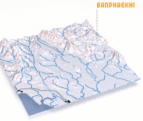 Places with similar names to Ban Phae Khi, Thailand ::
// Ban Fak Huai (TH)
// Ban Fak Huai (TH)
// Ban Fak Huai (TH)
// Ban Phai Khieo (TH)
// Ban Phai Khieo (TH)
// Ban Phai Khoi (TH)
// Ban Phakha (TH)
// Ban Pha Khao (TH)
// Ban Pha Khao (TH)
// Ban Pha Khao (TH)
Disclaimer :: Information on this page comes without warranty of any kind |
||
|
Where is Ban Phae Khi? Elevation and coordinates ::
Latitude (lat): 17°43'0"N Longitude (lon): 97°57'0"E
Elevation (approx.): 877m (map arrows pan, magnifying glasses zoom) |
||
|
Visiting Ban Phae Khi? Hotel/Accommodation ::
Book a hotel in Ban Phae Khi Travel Guide ::
Buy a travel guide for Thailand rental cars ::
car rental offers GPS waypoint ::
download a GPX waypoint (PoI) of Ban Phae Khi for your GPS receiver
|
||