|
search place name
|
||
Ban Pham (Roi Et, Thailand)Ban Pham is a town in the Roi Et region of Thailand. An overview map of the region around Ban Pham is displayed below.
regional and 3d topo map of Ban Pham, Thailand ::

Ban Pham airports ::
The nearest airport is ZVK - Savannakhet, located 163.3 km north east of Ban Pham.
Other airports nearby include NAK - Nakhon Ratchasima Khorat (176.1 km south west), SNO - Sakon Nakhon (177.5 km north), UTH - Udon Thani (202.2 km north), LOE - Loei (271.5 km north west), Nearby towns ::
Ban Khwao Yai (2.3km south west) //
Ban Um Mao (3.6km east) //
Ban Nong Bua (3.7km north) //
Ban Phon Sa-at (4.1km north east) //
Ban Nong Bua (5.9km north) //
Ban Nam Om (7.4km south) //
Ban Nong Waeng (7.4km south east) //
Ban Talat Chai (7.4km west) //
Ban Pa Duan (8.0km north west) //
Ban Khi Lek (8.2km south west) //
Ban I Ngong (8.3km north) //
Kaset Wisai (9.0km south east) //
Ban Phon Sung (9.0km south west) //
Ban I Khot (10.0km north east) //
Ban Nong Waeng (10.3km south east) //
[all distances 'as the bird flies' and approximate] 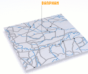 Places with similar names to Ban Pham, Thailand ::
// Bönnigheim (DE)
// Benafim (PT)
// Ban Fai Mai (TH)
// Ban Fam (TH)
// Ban Fa Mui (TH)
// Ban I Phum (TH)
// Ban Phae Mai (TH)
// Ban Phai Mu (TH)
// Ban Pham (TH)
// Ban Pham (TH)
Disclaimer :: Information on this page comes without warranty of any kind |
||
|
Where is Ban Pham? Elevation and coordinates ::
Latitude (lat): 15°42'0"N Longitude (lon): 103°31'0"E
Elevation (approx.): 130m (map arrows pan, magnifying glasses zoom) |
||
|
Visiting Ban Pham? Hotel/Accommodation ::
Book a hotel in Ban Pham Travel Guide ::
Buy a travel guide for Thailand rental cars ::
car rental offers GPS waypoint ::
download a GPX waypoint (PoI) of Ban Pham for your GPS receiver
|
||