|
search place name
|
||
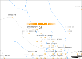
Ban Phlong Pla Duk (Rayong, Thailand)Ban Phlong Pla Duk is a town in the Rayong region of Thailand. An overview map of the region around Ban Phlong Pla Duk is displayed below.
regional and 3d topo map of Ban Phlong Pla Duk, Thailand ::
Ban Phlong Pla Duk airports ::
The nearest airport is UTP - Rayong U Taphao Intl, located 71.8 km west of Ban Phlong Pla Duk.
Other airports nearby include BKK - Bangkok Intl (159.2 km north west), HHQ - Prachuap Khiri Khan Hua Hin (184.7 km west), Nearby towns ::
Ban Chak Khrok (1.9km south) //
Ban Nong Tawan Ok (1.9km south) //
Ban Sa (1.9km south) //
Ban Sak Madua (1.8km west) //
Ban Krasae Bon (3.7km south) //
Ban Yang Ngam (3.6km west) //
Ban Thung Makham Pom (4.1km south east) //
Ban Sua Kin Lao (4.1km south east) //
Ban Nong Pru (5.6km south) //
Ban Yup Chong Kho (5.7km west) //
Ban Khao Wang Chik (5.8km south) //
Ban Nong Si Khrok (7.4km south) //
Ban Nong Makok (7.8km south east) //
Ban Thung Nong Phrong (7.8km south east) //
Ban Na (8.2km south east) //
Ban Nong Chorakhe (8.2km south east) //
Ban Thung Ket (2) (9.2km south east) //
Ban Nong Sai (10.4km south east) //
[all distances 'as the bird flies' and approximate] 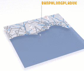 Places with similar names to Ban Phlong Pla Duk, Thailand :: Disclaimer :: Information on this page comes without warranty of any kind |
||
|
Where is Ban Phlong Pla Duk? Elevation and coordinates ::
Latitude (lat): 12°53'0"N Longitude (lon): 101°38'0"E
Elevation (approx.): 12m (map arrows pan, magnifying glasses zoom) |
||
|
Visiting Ban Phlong Pla Duk? Hotel/Accommodation ::
Book a hotel in Ban Phlong Pla Duk Travel Guide ::
Buy a travel guide for Thailand rental cars ::
car rental offers GPS waypoint ::
download a GPX waypoint (PoI) of Ban Phlong Pla Duk for your GPS receiver
|
||