|
search place name
|
||
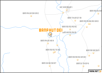
Ban Phu Toei (Phetchabun, Thailand)Ban Phu Toei is a town in the Phetchabun region of Thailand. An overview map of the region around Ban Phu Toei is displayed below.
regional and 3d topo map of Ban Phu Toei, Thailand ::
Ban Phu Toei airports ::
The nearest airport is NAK - Nakhon Ratchasima Khorat, located 130.0 km south east of Ban Phu Toei.
Other airports nearby include PHS - Phitsanulok (158.1 km north west), BKK - Bangkok Intl (189.9 km south), LOE - Loei (218.5 km north), UTH - Udon Thani (272.7 km north east), Nearby towns ::
Ban Phu Kham (2.8km south west) //
Ban Mai (3.8km south east) //
Ban Nong Sombun (5.7km south) //
Ban Nong Teng (5.9km south) //
Ban Wang Phai (6.6km east) //
Ban Nong Pong (7.2km east) //
Ban Tha Samrong (9.8km north east) //
Ban Thung Yai (10.3km north east) //
Ban Phum Sakae (10.4km north west) //
[all distances 'as the bird flies' and approximate] 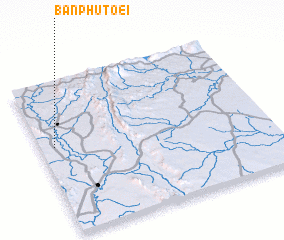 Places with similar names to Ban Phu Toei, Thailand ::
// Beni Fouda (MA)
// Benefit (US)
// Benfeita (PT)
// Ban Ao Fat (TH)
// Ban A Phat (TH)
// Ban Aphut (TH)
// Ban Fit (TH)
// Ban Na Phaet (TH)
// Ban Pha Di (TH)
// Ban Pha Dui (TH)
Disclaimer :: Information on this page comes without warranty of any kind |
||
|
Where is Ban Phu Toei? Elevation and coordinates ::
Latitude (lat): 15°34'14"N Longitude (lon): 101°3'41"E
Elevation (approx.): 69m (map arrows pan, magnifying glasses zoom) |
||
|
Visiting Ban Phu Toei? Hotel/Accommodation ::
Book a hotel in Ban Phu Toei Travel Guide ::
Buy a travel guide for Thailand rental cars ::
car rental offers GPS waypoint ::
download a GPX waypoint (PoI) of Ban Phu Toei for your GPS receiver
|
||