|
search place name
|
||
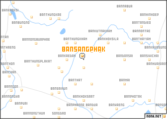
Ban Sang Phak (Thailand)Ban Sang Phak is a town in Thailand. An overview map of the region around Ban Sang Phak is displayed below.
regional and 3d topo map of Ban Sang Phak, Thailand ::
Ban Sang Phak airports ::
The nearest airport is SNO - Sakon Nakhon, located 68.1 km south east of Ban Sang Phak.
Other airports nearby include UTH - Udon Thani (86.0 km west), VTE - Vientiane Wattay Intl (119.3 km north west), ZVK - Savannakhet (165.4 km south east), LOE - Loei (198.0 km west), Nearby towns ::
Ban Don (1.9km south) //
Ban Na Di (2.6km north east) //
Ban Kae Dam (3.5km west) //
Ban Thung Kham (4.1km north west) //
Ban Nong Thum (4.0km north east) //
Ban Charoen Sin (5.1km north west) //
Ban Nong Wa (5.4km south west) //
Ban That (5.8km south) //
Ban Non Sang Phra (5.6km west) //
Ban Hong Hin (5.8km south) //
Ban Kut Na Kham (6.6km north east) //
Ban Khok Sila (6.5km north east) //
Ban Sai Mun (9.1km south west) //
Ban Sai Mun (10.3km south west) //
[all distances 'as the bird flies' and approximate] 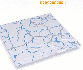 Places with similar names to Ban Sang Phak, Thailand ::
// Ban Sangphok (LA)
Disclaimer :: Information on this page comes without warranty of any kind |
||
|
Where is Ban Sang Phak? Elevation and coordinates ::
Latitude (lat): 17°32'0"N Longitude (lon): 103°35'0"E
Elevation (approx.): 171m (map arrows pan, magnifying glasses zoom) |
||
|
Visiting Ban Sang Phak? Hotel/Accommodation ::
Book a hotel in Ban Sang Phak Travel Guide ::
Buy a travel guide for Thailand rental cars ::
car rental offers GPS waypoint ::
download a GPX waypoint (PoI) of Ban Sang Phak for your GPS receiver
|
||