|
search place name
|
||
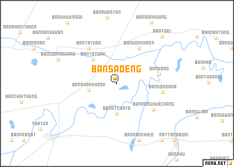
Ban Sa-oeng (Surin, Thailand)Ban Sa-oeng is a town in the Surin region of Thailand. An overview map of the region around Ban Sa-oeng is displayed below.
regional and 3d topo map of Ban Sa-oeng, Thailand ::
Ban Sa-oeng airports ::
The nearest airport is ZVK - Savannakhet, located 166.3 km north east of Ban Sa-oeng.
Other airports nearby include NAK - Nakhon Ratchasima Khorat (188.7 km west), SNO - Sakon Nakhon (202.3 km north), REP - Siem-reap Siem Reap (220.0 km south), UTH - Udon Thani (243.6 km north west), Nearby towns ::
Ban Khilek (2.8km north west) //
Ban Phon Khrok (4.5km west) //
Ban Atchaya (4.8km south) //
Ban Ta Yuak (5.4km north west) //
Ban Don Khaen (6.6km north east) //
Ban Dong (6.7km east) //
Ban Nong Hua Chang (7.0km south east) //
Ban Ta Yuak (7.1km north west) //
Ban Dong Pua (7.2km east) //
Ban Toei (10.3km north east) //
[all distances 'as the bird flies' and approximate] 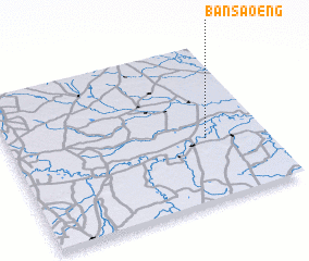 Places with similar names to Ban Sa-oeng, Thailand ::
// Binosong (PH)
// Ban Na Isang (TH)
// Ban Nai Song (TH)
// Ban Na Saeng (TH)
// Ban Na Saeng (TH)
// Ban Na Saeng (TH)
// Ban Na Sang (TH)
// Ban Na Sang (TH)
// Ban Na Sing (TH)
// Ban Na Sing (TH)
Disclaimer :: Information on this page comes without warranty of any kind |
||
|
Where is Ban Sa-oeng? Elevation and coordinates ::
Latitude (lat): 15°23'56"N Longitude (lon): 103°46'6"E
Elevation (approx.): 128m (map arrows pan, magnifying glasses zoom) |
||
|
Visiting Ban Sa-oeng? Hotel/Accommodation ::
Book a hotel in Ban Sa-oeng Travel Guide ::
Buy a travel guide for Thailand rental cars ::
car rental offers GPS waypoint ::
download a GPX waypoint (PoI) of Ban Sa-oeng for your GPS receiver
|
||