|
search place name
|
||
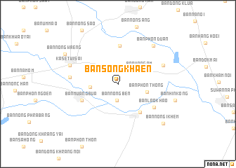
Ban Song Khaen (Roi Et, Thailand)Ban Song Khaen is a town in the Roi Et region of Thailand. An overview map of the region around Ban Song Khaen is displayed below.
regional and 3d topo map of Ban Song Khaen, Thailand ::
Ban Song Khaen airports ::
The nearest airport is ZVK - Savannakhet, located 157.2 km north east of Ban Song Khaen.
Other airports nearby include SNO - Sakon Nakhon (180.9 km north), NAK - Nakhon Ratchasima Khorat (185.4 km south west), UTH - Udon Thani (215.8 km north west), LOE - Loei (287.7 km north west), Nearby towns ::
Ban Nong Ben (2.6km south) //
Ban Wa Ngam (4.1km north east) //
Ban Hua Dong Kamphaeng (4.2km west) //
Ban Phon Thong (4.7km east) //
Ban Ku Ka Sing (5.6km south east) //
Ban Khilek Sai (6.1km north) //
Ban Muang Bua (6.1km south west) //
Ban Lao Khao (6.7km south east) //
Ban Nong Waeng (7.4km west) //
Ban Som Hong (7.6km north east) //
Kaset Wisai (7.9km west) //
Ban Phon Duan (8.1km north east) //
Ban Nong I Khem (9.4km south east) //
Ban Nong Waeng (9.4km north west) //
Ban Nong Sao (10.1km north west) //
[all distances 'as the bird flies' and approximate] 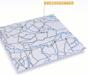 Places with similar names to Ban Song Khaen, Thailand ::
// Ban Song Khaen (TH)
// Ban Song Khon (TH)
// Ban Song Khon (TH)
// Ban Song Khon (TH)
// Ban Song Khon (TH)
// Ban Song Khon (TH)
// Ban Song Khon (TH)
// Ban Song Khon (TH)
// Ban Song Khon (TH)
// Ban Song Khon (TH)
Disclaimer :: Information on this page comes without warranty of any kind |
||
|
Where is Ban Song Khaen? Elevation and coordinates ::
Latitude (lat): 15°37'25"N Longitude (lon): 103°39'6"E
Elevation (approx.): 134m (map arrows pan, magnifying glasses zoom) |
||
|
Visiting Ban Song Khaen? Hotel/Accommodation ::
Book a hotel in Ban Song Khaen Travel Guide ::
Buy a travel guide for Thailand rental cars ::
car rental offers GPS waypoint ::
download a GPX waypoint (PoI) of Ban Song Khaen for your GPS receiver
|
||