|
search place name
|
||
Ban Sop Pat (Lampang, Thailand)Ban Sop Pat is a town in the Lampang region of Thailand. An overview map of the region around Ban Sop Pat is displayed below.
regional and 3d topo map of Ban Sop Pat, Thailand ::

Ban Sop Pat airports ::
The nearest airport is LPT - Lampang, located 27.6 km west of Ban Sop Pat.
Other airports nearby include PRH - Phrae (44.3 km east), PHS - Phitsanulok (171.1 km south), LOE - Loei (226.1 km south east), Nearby towns ::
Ban Mae Chang (4.4km north east) //
Ban Hang Hung (6.4km north west) //
Ban Kho Nua (6.5km north east) //
Mae Mo (6.4km west) //
Ban Huai Khiang (7.6km north west) //
Ban Pu Thun (9.1km north west) //
Ban Pha Maeo (9.4km south west) //
[all distances 'as the bird flies' and approximate] 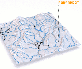 Places with similar names to Ban Sop Pat, Thailand ::
// Ban Sai Po Tai (TH)
// Ban Sap Tai (TH)
// Ban Sop Do (TH)
// Ban Sapout (LA)
// Ban Sôp-At (LA)
// Ban Sôppit (LA)
// Bản Sapiet (VN)
// Bản Sop Phat (VN)
// Banza Puto (AO)
Disclaimer :: Information on this page comes without warranty of any kind |
||
|
Where is Ban Sop Pat? Elevation and coordinates ::
Latitude (lat): 18°14'53"N Longitude (lon): 99°45'49"E
Elevation (approx.): 315m (map arrows pan, magnifying glasses zoom) |
||
|
Visiting Ban Sop Pat? Hotel/Accommodation ::
Book a hotel in Ban Sop Pat Travel Guide ::
Buy a travel guide for Thailand rental cars ::
car rental offers GPS waypoint ::
download a GPX waypoint (PoI) of Ban Sop Pat for your GPS receiver
|
||