|
search place name
|
||
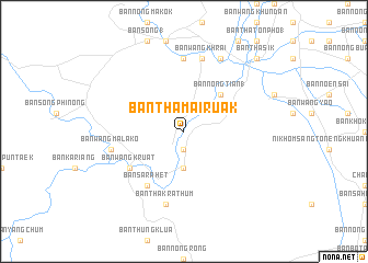
Ban Tha Mai Ruak (Phetchaburi, Thailand)Ban Tha Mai Ruak is a town in the Phetchaburi region of Thailand. An overview map of the region around Ban Tha Mai Ruak is displayed below.
regional and 3d topo map of Ban Tha Mai Ruak, Thailand ::
Ban Tha Mai Ruak airports ::
The nearest airport is HHQ - Prachuap Khiri Khan Hua Hin, located 28.8 km south east of Ban Tha Mai Ruak.
Other airports nearby include UTP - Rayong U Taphao Intl (132.2 km east), MGZ - Myeik (135.8 km west), BKK - Bangkok Intl (146.5 km north east), Nearby towns ::
Ban Tha Lao (1.9km south) //
Ban Huai Thawai (3.7km south) //
Ban Nong Tian (1) (5.2km north east) //
Ban Sarahet (6.6km south west) //
Ban Klat Luang (6.6km south west) //
Ban Wang Kruat (6.6km south west) //
Ban Nong Wa (7.4km north) //
Ban Tha Hua Lom (7.4km north) //
Ban Wang Malako (7.5km west) //
Ban Tha Krathum (7.6km south) //
Ban Nong Krathum (7.6km north) //
Ban Wang Khrai (7.6km north) //
Ban Mae Prachan (1) (8.2km north east) //
Ban Huai Sua (8.2km north east) //
Ban Tha Sik (10.4km north east) //
Ban Nong Faek (10.4km north east) //
[all distances 'as the bird flies' and approximate] 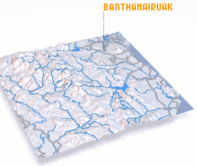 Places with similar names to Ban Tha Mai Ruak, Thailand :: Disclaimer :: Information on this page comes without warranty of any kind |
||
|
Where is Ban Tha Mai Ruak? Elevation and coordinates ::
Latitude (lat): 12°51'0"N Longitude (lon): 99°48'0"E
Elevation (approx.): 33m (map arrows pan, magnifying glasses zoom) |
||
|
Visiting Ban Tha Mai Ruak? Hotel/Accommodation ::
Book a hotel in Ban Tha Mai Ruak Travel Guide ::
Buy a travel guide for Thailand rental cars ::
car rental offers GPS waypoint ::
download a GPX waypoint (PoI) of Ban Tha Mai Ruak for your GPS receiver
|
||