|
search place name
|
||
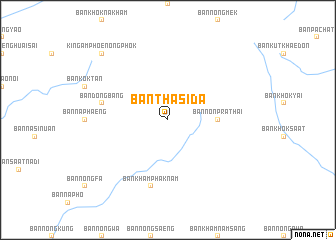
Ban Tha Sida (Roi Et, Thailand)Ban Tha Sida is a town in the Roi Et region of Thailand. An overview map of the region around Ban Tha Sida is displayed below.
regional and 3d topo map of Ban Tha Sida, Thailand ::
Ban Tha Sida airports ::
The nearest airport is ZVK - Savannakhet, located 70.1 km north east of Ban Tha Sida.
Other airports nearby include SNO - Sakon Nakhon (110.6 km north), UTH - Udon Thani (201.1 km north west), PKZ - Pakse (205.2 km south east), VTE - Vientiane Wattay Intl (264.8 km north west), Nearby towns ::
Ban Non Prathai (5.3km east) //
Ban Dong Bang (7.4km west) //
Ban Kham Phak Nam (7.6km south) //
King Amphoe Nong Phok (10.3km north west) //
[all distances 'as the bird flies' and approximate] 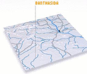 Places with similar names to Ban Tha Sida, Thailand ::
// Ban Tha Sa-at (TH)
// Ban Tha Sa-at (TH)
// Ban Tha Satu (TH)
// Ban Tha Sut (TH)
// Ban Thasida (LA)
// Ban Thasida (LA)
Disclaimer :: Information on this page comes without warranty of any kind |
||
|
Where is Ban Tha Sida? Elevation and coordinates ::
Latitude (lat): 16°12'0"N Longitude (lon): 104°13'0"E
Elevation (approx.): 198m (map arrows pan, magnifying glasses zoom) |
||
|
Visiting Ban Tha Sida? Hotel/Accommodation ::
Book a hotel in Ban Tha Sida Travel Guide ::
Buy a travel guide for Thailand rental cars ::
car rental offers GPS waypoint ::
download a GPX waypoint (PoI) of Ban Tha Sida for your GPS receiver
|
||