|
search place name
|
||
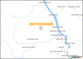
Ban Thung Suan (Kamphaeng Phet, Thailand)Ban Thung Suan is a town in the Kamphaeng Phet region of Thailand. An overview map of the region around Ban Thung Suan is displayed below.
regional and 3d topo map of Ban Thung Suan, Thailand ::
Ban Thung Suan airports ::
The nearest airport is PHS - Phitsanulok, located 95.5 km east of Ban Thung Suan.
Other airports nearby include LPT - Lampang (196.1 km north), PRH - Phrae (196.7 km north east), Nearby towns ::
Ban Tha Dua (6.5km south east) //
Ban Na Bo Kham (6.6km south west) //
Ban Tha Khun Ram (6.6km south east) //
Ban Nong Ping (7.1km east) //
Ban Pak Khlong Nua (7.3km east) //
Ban Ko Saba (7.7km north east) //
Kamphaeng Phet (8.0km south east) //
[all distances 'as the bird flies' and approximate] 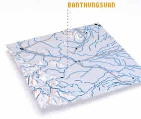 Places with similar names to Ban Thung Suan, Thailand ::
// Ban Thung San (TH)
// Ban Thung San (TH)
// Ban Thung San (TH)
// Ban Thung San (TH)
// Ban Thung Son (TH)
// Ban Thôngson (LA)
Disclaimer :: Information on this page comes without warranty of any kind |
||
|
Where is Ban Thung Suan? Elevation and coordinates ::
Latitude (lat): 16°30'0"N Longitude (lon): 99°26'0"E
Elevation (approx.): 96m (map arrows pan, magnifying glasses zoom) |
||
|
Visiting Ban Thung Suan? Hotel/Accommodation ::
Book a hotel in Ban Thung Suan Travel Guide ::
Buy a travel guide for Thailand rental cars ::
car rental offers GPS waypoint ::
download a GPX waypoint (PoI) of Ban Thung Suan for your GPS receiver
|
||