|
search place name
|
||
Ban Wang Ai Khong (Chaiyaphum, Thailand)Ban Wang Ai Khong is a town in the Chaiyaphum region of Thailand. An overview map of the region around Ban Wang Ai Khong is displayed below.
regional and 3d topo map of Ban Wang Ai Khong, Thailand ::

Ban Wang Ai Khong airports ::
The nearest airport is NAK - Nakhon Ratchasima Khorat, located 92.4 km south east of Ban Wang Ai Khong.
Other airports nearby include PHS - Phitsanulok (188.7 km north west), BKK - Bangkok Intl (203.7 km south west), LOE - Loei (211.5 km north), UTH - Udon Thani (246.9 km north east), Nearby towns ::
Ban Wang Ai Pho (6.5km north west) //
Ban Yang Tia (7.0km west) //
Ban Wang Ta Lat (8.1km south) //
Ban Rai (8.2km west) //
Ban Na Lalai (10.7km south east) //
[all distances 'as the bird flies' and approximate] 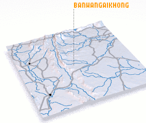 Places with similar names to Ban Wang Ai Khong, Thailand ::
// Ban Wang Khaeng (TH)
// Ban Wang Khon (2) (TH)
// Ban Wang Khong (TH)
// Ban Wang Khong (TH)
// Ban Wang Khong (TH)
// Ban Wang Khuang (TH)
// Ban Wong Khong (TH)
// Ban Wong Khong (TH)
Disclaimer :: Information on this page comes without warranty of any kind |
||
|
Where is Ban Wang Ai Khong? Elevation and coordinates ::
Latitude (lat): 15°32'29"N Longitude (lon): 101°29'18"E
Elevation (approx.): 279m (map arrows pan, magnifying glasses zoom) |
||
|
Visiting Ban Wang Ai Khong? Hotel/Accommodation ::
Book a hotel in Ban Wang Ai Khong Travel Guide ::
Buy a travel guide for Thailand rental cars ::
car rental offers GPS waypoint ::
download a GPX waypoint (PoI) of Ban Wang Ai Khong for your GPS receiver
|
||