|
search place name
|
||
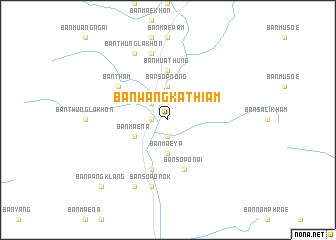
Ban Wang Kathiam (Thailand)Ban Wang Kathiam is a town in Thailand. An overview map of the region around Ban Wang Kathiam is displayed below.
regional and 3d topo map of Ban Wang Kathiam, Thailand ::
Ban Wang Kathiam airports ::
The nearest airport is LPT - Lampang, located 131.5 km south east of Ban Wang Kathiam.
Other airports nearby include MOG - Mong Hsat (132.3 km north), THL - Tachilek Tachileik (160.3 km north east), PRH - Phrae (183.5 km south east), KET - Kengtung (226.6 km north), Nearby towns ::
Ban Thung Kala (1.7km west) //
Ban Mae To (1.9km south) //
Chiang Dao (2.5km north west) //
Ban Sop Nong (3.7km north) //
Ban Mae Ya (3.7km south) //
Ban Mae Na (4.0km south west) //
Ban Hua Thung (5.6km north) //
Ban Sop Khap (5.8km south) //
Ban Sop O Nai (5.8km south) //
Ban Tham (6.4km north west) //
Ban Huai Sai (7.6km north) //
Ban Sop O Nok (7.6km south) //
Ban Thung Lakhon (8.2km north west) //
Ban Ngieo (8.2km south west) //
Ban Pang Klang (10.2km south west) //
[all distances 'as the bird flies' and approximate] 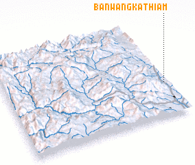 Places with similar names to Ban Wang Kathiam, Thailand :: Disclaimer :: Information on this page comes without warranty of any kind |
||
|
Where is Ban Wang Kathiam? Elevation and coordinates ::
Latitude (lat): 19°21'0"N Longitude (lon): 98°59'0"E
Elevation (approx.): 444m (map arrows pan, magnifying glasses zoom) |
||
|
Visiting Ban Wang Kathiam? Hotel/Accommodation ::
Book a hotel in Ban Wang Kathiam Travel Guide ::
Buy a travel guide for Thailand rental cars ::
car rental offers GPS waypoint ::
download a GPX waypoint (PoI) of Ban Wang Kathiam for your GPS receiver
|
||