|
search place name
|
||
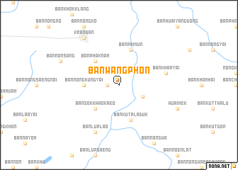
Ban Wang Phon (Khon Kaen, Thailand)Ban Wang Phon is a town in the Khon Kaen region of Thailand. An overview map of the region around Ban Wang Phon is displayed below.
regional and 3d topo map of Ban Wang Phon, Thailand ::
Ban Wang Phon airports ::
The nearest airport is UTH - Udon Thani, located 91.1 km north west of Ban Wang Phon.
Other airports nearby include SNO - Sakon Nakhon (122.0 km north east), VTE - Vientiane Wattay Intl (161.7 km north), ZVK - Savannakhet (173.7 km east), LOE - Loei (174.7 km north west), Nearby towns ::
Ban Non Tao Hai (1.8km west) //
Ban Nong Na Rai Dieo (4.0km south east) //
Ban Sok Khao Kaeo (5.1km south west) //
Ban Phak Nam (5.1km north west) //
Ban Nong Kung Yai (5.3km west) //
Ban Kut Pla Duk (5.8km south) //
Ban Phimun (5.8km north) //
Ban Kham Yai (7.3km east) //
Ban Lup Lao (8.2km south west) //
Kranuan (9.1km north west) //
[all distances 'as the bird flies' and approximate] 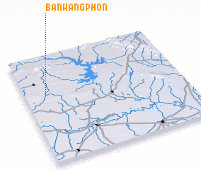 Places with similar names to Ban Wang Phon, Thailand ::
Disclaimer :: Information on this page comes without warranty of any kind |
||
|
Where is Ban Wang Phon? Elevation and coordinates ::
Latitude (lat): 16°38'0"N Longitude (lon): 103°8'0"E
Elevation (approx.): 192m (map arrows pan, magnifying glasses zoom) |
||
|
Visiting Ban Wang Phon? Hotel/Accommodation ::
Book a hotel in Ban Wang Phon Travel Guide ::
Buy a travel guide for Thailand rental cars ::
car rental offers GPS waypoint ::
download a GPX waypoint (PoI) of Ban Wang Phon for your GPS receiver
|
||