|
search place name
|
||
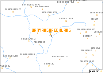
Ban Yang Mae O Klang (Chiang Mai, Thailand)Ban Yang Mae O Klang is a town in the Chiang Mai region of Thailand. An overview map of the region around Ban Yang Mae O Klang is displayed below.
regional and 3d topo map of Ban Yang Mae O Klang, Thailand ::
Ban Yang Mae O Klang airports ::
The nearest airport is LPT - Lampang, located 131.1 km south east of Ban Yang Mae O Klang.
Other airports nearby include PRH - Phrae (200.8 km east), MOG - Mong Hsat (206.7 km north east), THL - Tachilek Tachileik (243.1 km north east), HEH - Heho (271.5 km north west), Nearby towns ::
Ban Yang Mae Kho (5.0km west) //
Ban Sop Kho (5.1km south west) //
Ban Pha Luang (7.6km north east) //
Ban Mae Tala Noi (8.0km north) //
Ban Yang Mae Sa (8.1km west) //
Ban Huai Khao Lip (8.6km south) //
Ban Yang Mae Hoi (11.1km south west) //
[all distances 'as the bird flies' and approximate] 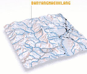 Places with similar names to Ban Yang Mae O Klang, Thailand :: Disclaimer :: Information on this page comes without warranty of any kind |
||
|
Where is Ban Yang Mae O Klang? Elevation and coordinates ::
Latitude (lat): 18°49'50"N Longitude (lon): 98°24'34"E
Elevation (approx.): 690m (map arrows pan, magnifying glasses zoom) |
||
|
Visiting Ban Yang Mae O Klang? Hotel/Accommodation ::
Book a hotel in Ban Yang Mae O Klang Travel Guide ::
Buy a travel guide for Thailand rental cars ::
car rental offers GPS waypoint ::
download a GPX waypoint (PoI) of Ban Yang Mae O Klang for your GPS receiver
|
||