|
search place name
|
||
Aleksandrówka (Poland)Aleksandrówka is a town in Poland. An overview map of the region around Aleksandrówka is displayed below.
regional and 3d topo map of Aleksandrówka, Poland ::

Aleksandrówka airports ::
The nearest airport is WAW - Warsaw Okecie, located 76.2 km north west of Aleksandrówka.
Other airports nearby include RZE - Rzeszow Jasionka (167.2 km south), KRK - Krakow Balice (208.6 km south west), Nearby towns ::
Kozienice (1.2km east) //
Stara Wieś (2.3km east) //
Nowiny (3.7km south) //
Śmietanki (3.0km south east) //
Wójtostwo (3.0km north east) //
Kociołki (3.9km south) //
Cudów (3.9km north) //
Opatkowice (3.9km north) //
Łuczynów Stary (4.4km north west) //
Janików (3.5km east) //
Holendry Piotrkowskie (5.7km north) //
Ruda (5.1km south east) //
Holendry (5.1km north east) //
Stanisławice (4.6km west) //
Piotrkowice (7.4km north) //
Holendry (7.5km north) //
Holendry Kuźmińskie (7.5km north) //
Dąbrówki (5.0km east) //
Wargocin (6.5km north east) //
Chinów Stary (5.9km north west) //
Augustów (7.2km south west) //
Nowa Wieś (8.2km north west) //
Molendy (8.7km south east) //
[all distances 'as the bird flies' and approximate] 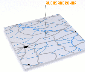 Places with similar names to Aleksandrówka, Poland ::
// Aleksandrówka (PL)
// Aleksandrówka (PL)
// Aleksandrówka (PL)
// Aleksandrówka (PL)
// Aleksandrówka (PL)
// Aleksandrówka (PL)
// Aleksandrówka (PL)
// Aleksandrówka (PL)
// Aleksandrówka (PL)
// Aleksandrówka (PL)
Disclaimer :: Information on this page comes without warranty of any kind |
||
|
Where is Aleksandrówka? Elevation and coordinates ::
Latitude (lat): 51°35'0"N Longitude (lon): 21°33'0"E
Elevation (approx.): 117m (map arrows pan, magnifying glasses zoom) |
||
|
Visiting Aleksandrówka? Hotel/Accommodation ::
Book a hotel in Aleksandrówka Travel Guide ::
Buy a travel guide for Poland rental cars ::
car rental offers GPS waypoint ::
download a GPX waypoint (PoI) of Aleksandrówka for your GPS receiver
|
||