|
search place name
|
||
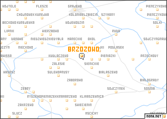
Brzozowo (Poland)Brzozowo is a town in Poland. An overview map of the region around Brzozowo is displayed below.
regional and 3d topo map of Brzozowo, Poland ::
Brzozowo airports ::
The nearest airport is WAW - Warsaw Okecie, located 184.2 km south west of Brzozowo.
Other airports nearby include KGD - Kaliningrad Khrabrovo (192.8 km north west), Nearby towns ::
Lipińskie (1.1km east) //
Modzele (1.9km north) //
Sienickie (2.2km south east) //
Grozimy (2.2km north west) //
Gackie (2.2km east) //
Łosiewo (3.7km north) //
Godlewo (2.2km west) //
Okół (3.9km north) //
Łojki (2.9km north east) //
Mareckie (3.9km north) //
Pieniążki (3.3km east) //
Kudłaczewo (3.3km west) //
Zaborowo (5.7km south) //
Zalesie (3.8km south west) //
Białaszewo (5.0km south east) //
Sulewo Prusy (5.0km south west) //
Sulewo Kownaty (5.0km south west) //
Sulewo (5.0km south west) //
Dybła (5.0km north west) //
Łękowo (7.4km north) //
Podlasek (4.8km north east) //
Kacprowo (7.5km north) //
Bagienice (4.8km south west) //
Wojewodzin (7.5km north) //
Ruda (7.1km north east) //
Wierzbowo (7.1km north west) //
Sojczynek (8.6km south east) //
Popowo Pruskie Stany (8.6km north west) //
[all distances 'as the bird flies' and approximate] 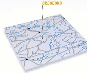 Places with similar names to Brzozowo, Poland ::
Disclaimer :: Information on this page comes without warranty of any kind |
||
|
Where is Brzozowo? Elevation and coordinates ::
Latitude (lat): 53°33'0"N Longitude (lon): 22°28'0"E
Elevation (approx.): 124m (map arrows pan, magnifying glasses zoom) |
||
|
Visiting Brzozowo? Hotel/Accommodation ::
Book a hotel in Brzozowo Travel Guide ::
Buy a travel guide for Poland rental cars ::
car rental offers GPS waypoint ::
download a GPX waypoint (PoI) of Brzozowo for your GPS receiver
|
||