|
search place name
|
||
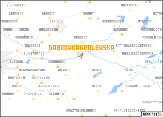
Dąbrówka Królewska (Poland)Dąbrówka Królewska is a town in Poland. An overview map of the region around Dąbrówka Królewska is displayed below.
regional and 3d topo map of Dąbrówka Królewska, Poland ::
Dąbrówka Królewska airports ::
The nearest airport is GDN - Gdansk Lecha Walesy, located 102.4 km north of Dąbrówka Królewska.
Other airports nearby include OSP - Slupsk Redzikowo (161.9 km north west), KGD - Kaliningrad Khrabrovo (188.8 km north east), Nearby towns ::
Nowa Góra (2.2km north east) //
Rogoźno-Zamek (2.2km north east) //
Rogóźno (3.7km north) //
Nicwałd (4.3km south west) //
Gruta (4.3km south east) //
Grabowiec (3.8km south west) //
Kłódka Szlachecka (4.8km north west) //
Nowe Mosty (4.8km north east) //
Okonin (7.7km south) //
Skurgwy (7.7km north) //
Mełno (7.7km south) //
Białochowo (7.1km north west) //
Zarośle (8.1km north west) //
Stary Folwark (8.6km south west) //
Szembruczek (8.6km north east) //
[all distances 'as the bird flies' and approximate] 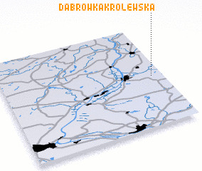 Places with similar names to Dąbrówka Królewska, Poland :: Disclaimer :: Information on this page comes without warranty of any kind |
||
|
Where is Dąbrówka Królewska? Elevation and coordinates ::
Latitude (lat): 53°30'0"N Longitude (lon): 18°56'0"E
Elevation (approx.): 79m (map arrows pan, magnifying glasses zoom) |
||
|
Visiting Dąbrówka Królewska? Hotel/Accommodation ::
Book a hotel in Dąbrówka Królewska Travel Guide ::
Buy a travel guide for Poland rental cars ::
car rental offers GPS waypoint ::
download a GPX waypoint (PoI) of Dąbrówka Królewska for your GPS receiver
|
||