|
search place name
|
||
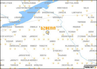
Dzbenin (Poland)Dzbenin is a town in Poland. An overview map of the region around Dzbenin is displayed below.
regional and 3d topo map of Dzbenin, Poland ::
Dzbenin airports ::
The nearest airport is WAW - Warsaw Okecie, located 115.6 km south west of Dzbenin.
Other airports nearby include KGD - Kaliningrad Khrabrovo (215.3 km north), Nearby towns ::
Kurpie Szlacheckie (1.9km south) //
Puchały (1.1km west) //
Kurpie (2.2km south west) //
Kurpie Dworskie (2.2km south west) //
Nowe Przytuły (2.2km north west) //
Rozwory (2.2km north west) //
Dąbek (3.9km south) //
Opęchowo (2.9km south east) //
Łątczyn (2.9km north east) //
Grucele (2.9km south west) //
Chrzczony (5.6km south) //
Kuleszka (5.6km north) //
Budne (3.3km east) //
Choromany (5.7km south) //
Janochy (3.8km south west) //
Ojcewo (3.8km south east) //
Troszyn (5.7km south) //
Zabiele (3.8km north west) //
Sosnowiec (6.0km north) //
Rydzewo (6.0km north) //
Drogoszewo (7.4km north) //
Siemiątkowo (4.8km south east) //
Ołdaki (4.8km north west) //
Rabędy (6.5km south west) //
Wysocarz (7.7km south) //
Sawały (7.7km south) //
Sawały Górne (7.7km south) //
Milewo Łosie (7.1km south east) //
Nowosiedliny (8.1km north west) //
[all distances 'as the bird flies' and approximate] 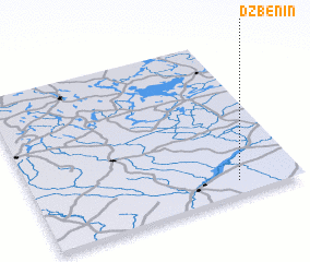 Places with similar names to Dzbenin, Poland ::
// Dzbenin (PL)
Disclaimer :: Information on this page comes without warranty of any kind |
||
|
Where is Dzbenin? Elevation and coordinates ::
Latitude (lat): 53°5'0"N Longitude (lon): 21°46'0"E
Elevation (approx.): 105m (map arrows pan, magnifying glasses zoom) |
||
|
Visiting Dzbenin? Hotel/Accommodation ::
Book a hotel in Dzbenin Travel Guide ::
Buy a travel guide for Poland rental cars ::
car rental offers GPS waypoint ::
download a GPX waypoint (PoI) of Dzbenin for your GPS receiver
|
||