|
search place name
|
||
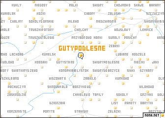
Guty Podleśne (Poland)Guty Podleśne is a town in Poland. An overview map of the region around Guty Podleśne is displayed below.
regional and 3d topo map of Guty Podleśne, Poland ::
Guty Podleśne airports ::
The nearest airport is WAW - Warsaw Okecie, located 166.9 km south west of Guty Podleśne.
Other airports nearby include KGD - Kaliningrad Khrabrovo (186.7 km north west), Nearby towns ::
Grabowo (1.9km south) //
Bagieńskie (2.2km north west) //
Przyborowo (3.7km north) //
Guty Stare (2.9km south west) //
Konopki Białystok (3.9km south) //
Konopki Monety (3.9km south) //
Łebki Duże (3.9km north) //
Marki (4.3km north east) //
Kowalewo (3.3km west) //
Andrychy (5.6km north) //
Chełchy (5.6km north) //
Golanki (3.8km south east) //
Świdry Podleśne (3.8km south east) //
Zabiele (5.7km south) //
Świdry Dobrzyce (5.0km south east) //
Dzięgiele (6.0km south) //
Barzykowo (7.4km south) //
Kumelsk (4.4km west) //
Milewo (7.5km north) //
Kurki (7.5km north) //
Żebrki (4.8km north east) //
Wiszowate (6.5km south west) //
Skroda Wielka (6.5km south west) //
Glinki (6.5km north west) //
Brzózki Wielkie (7.7km north) //
Surały (5.8km north east) //
Skroda Mała (8.1km south west) //
Niedźwiadna (8.1km north east) //
Brzeźno (8.1km north east) //
[all distances 'as the bird flies' and approximate] 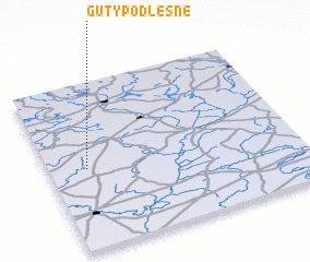 Places with similar names to Guty Podleśne, Poland :: Disclaimer :: Information on this page comes without warranty of any kind |
||
|
Where is Guty Podleśne? Elevation and coordinates ::
Latitude (lat): 53°29'0"N Longitude (lon): 22°9'0"E
Elevation (approx.): 165m (map arrows pan, magnifying glasses zoom) |
||
|
Visiting Guty Podleśne? Hotel/Accommodation ::
Book a hotel in Guty Podleśne Travel Guide ::
Buy a travel guide for Poland rental cars ::
car rental offers GPS waypoint ::
download a GPX waypoint (PoI) of Guty Podleśne for your GPS receiver
|
||