|
search place name
|
||
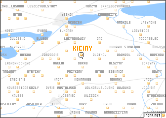
Kiciny (Poland)Kiciny is a town in Poland. An overview map of the region around Kiciny is displayed below.
regional and 3d topo map of Kiciny, Poland ::
Kiciny airports ::
The nearest airport is WAW - Warsaw Okecie, located 53.3 km south west of Kiciny.
Nearby towns ::
Choszczewo (1.1km west) //
Obrąb (1.9km south) //
Mieczysławów (1.9km south) //
Płatków (2.3km east) //
Anastazew (2.9km north west) //
Lucynów Duży (3.9km north) //
Przykory (3.9km south) //
Gać (4.3km north east) //
Sitne (4.3km south east) //
Mościska (4.3km south west) //
Mostówka (3.4km west) //
Mokra Wieś (5.6km south) //
Basinów (3.9km north east) //
Adelin (3.9km south west) //
Tumanek (6.0km north) //
Lucynów Mały (5.0km north west) //
Zabrodzie (4.5km west) //
Skuszew (7.5km north) //
Kukawki (4.9km east) //
Chrzęsne (7.5km south) //
Olszyny (4.9km east) //
Jarzębia Łąka (6.5km south west) //
Wagan (6.5km south west) //
Rybienko (7.7km north) //
Postoliska (7.7km south) //
Wólka Sulejowska (7.7km south) //
Szewnica (5.8km south east) //
Nowinki (7.2km south east) //
Sulejów (8.7km south east) //
[all distances 'as the bird flies' and approximate] 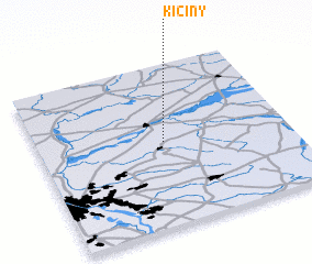 Places with similar names to Kiciny, Poland ::
Disclaimer :: Information on this page comes without warranty of any kind |
||
|
Where is Kiciny? Elevation and coordinates ::
Latitude (lat): 52°31'0"N Longitude (lon): 21°30'0"E
Elevation (approx.): 93m (map arrows pan, magnifying glasses zoom) |
||
|
Visiting Kiciny? Hotel/Accommodation ::
Book a hotel in Kiciny Travel Guide ::
Buy a travel guide for Poland rental cars ::
car rental offers GPS waypoint ::
download a GPX waypoint (PoI) of Kiciny for your GPS receiver
|
||