|
search place name
|
||
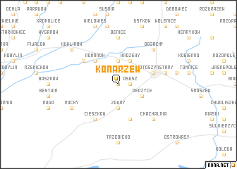
Konarzew (Poland)Konarzew is a town in Poland. An overview map of the region around Konarzew is displayed below.
regional and 3d topo map of Konarzew, Poland ::
Konarzew airports ::
The nearest airport is WRO - Wroclaw Strachowice, located 73.3 km south west of Konarzew.
Other airports nearby include POZ - Poznan Lawica (90.5 km north west), IEG - Zielona Gora Babimost (120.2 km north west), KTW - Katowice Pyrzowice (179.5 km south east), PED - Pardubice (218.9 km south west), Nearby towns ::
Kolonia Salnia (0.0km north) //
Osusz (1.1km east) //
Zduny (3.7km south) //
Lutogniew (3.7km north) //
Perzyce (3.0km south east) //
Wróżewy (3.9km north) //
Romanów (4.4km north west) //
Krotoszyn Stary (3.9km north east) //
Borownica (5.7km south) //
Cieszków (6.0km south) //
Rojew (5.1km north west) //
Dzierżanów (5.1km north west) //
Benice (7.4km north) //
Nowy Folwark (5.0km east) //
Krotoszyn (5.0km east) //
Bożacin (6.5km north east) //
Chachalnia (6.5km south east) //
Rochy (5.9km south west) //
Kuklinów (7.2km north west) //
[all distances 'as the bird flies' and approximate] 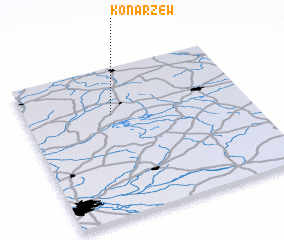 Places with similar names to Konarzew, Poland ::
Disclaimer :: Information on this page comes without warranty of any kind |
||
|
Where is Konarzew? Elevation and coordinates ::
Latitude (lat): 51°41'0"N Longitude (lon): 17°23'0"E
Elevation (approx.): 116m (map arrows pan, magnifying glasses zoom) |
||
|
Visiting Konarzew? Hotel/Accommodation ::
Book a hotel in Konarzew Travel Guide ::
Buy a travel guide for Poland rental cars ::
car rental offers GPS waypoint ::
download a GPX waypoint (PoI) of Konarzew for your GPS receiver
|
||