|
search place name
|
||
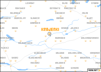
Krajenki (Poland)Krajenki is a town in Poland. An overview map of the region around Krajenki is displayed below.
regional and 3d topo map of Krajenki, Poland ::
Krajenki airports ::
The nearest airport is GDN - Gdansk Lecha Walesy, located 106.0 km north east of Krajenki.
Other airports nearby include OSP - Slupsk Redzikowo (109.7 km north), POZ - Poznan Lawica (137.7 km south west), IEG - Zielona Gora Babimost (201.3 km south west), Nearby towns ::
Przymuszewo (1.1km west) //
Pamiętowo (2.2km south east) //
Zalesie (2.2km south west) //
Drożdzienica (2.2km south west) //
Adamkowo (2.9km south east) //
Kęsowo (3.8km north east) //
Dąbrówka (5.0km north west) //
Obrowo (6.0km north) //
Sławęcin (6.5km north west) //
Wałdowo (7.7km south) //
Ciechocin (7.7km north) //
Włościborz (7.7km south) //
[all distances 'as the bird flies' and approximate] 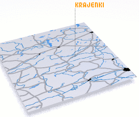 Places with similar names to Krajenki, Poland ::
Disclaimer :: Information on this page comes without warranty of any kind |
||
|
Where is Krajenki? Elevation and coordinates ::
Latitude (lat): 53°33'0"N Longitude (lon): 17°40'0"E
Elevation (approx.): 115m (map arrows pan, magnifying glasses zoom) |
||
|
Visiting Krajenki? Hotel/Accommodation ::
Book a hotel in Krajenki Travel Guide ::
Buy a travel guide for Poland rental cars ::
car rental offers GPS waypoint ::
download a GPX waypoint (PoI) of Krajenki for your GPS receiver
|
||