|
search place name
|
||
Kulki (Poland)Kulki is a town in Poland. An overview map of the region around Kulki is displayed below.
regional and 3d topo map of Kulki, Poland ::

Kulki airports ::
The nearest airport is WAW - Warsaw Okecie, located 48.5 km west of Kulki.
Other airports nearby include RZE - Rzeszow Jasionka (217.4 km south), KRK - Krakow Balice (255.4 km south west), Nearby towns ::
Starogród (1.9km south) //
Borówek (2.2km south east) //
Kąty (2.2km north west) //
Żaków (2.2km north east) //
Stodzew (3.7km south) //
Wólka Dłużewska (2.3km west) //
Stara Wieś (3.9km north) //
Wola Starogrodzka (4.4km south west) //
Dłużew (3.4km west) //
Dzielnik (3.4km east) //
Łękawica (5.6km north) //
Kolonia Starogrodzka (3.9km south west) //
Majdan (3.9km south west) //
Bestwiny (3.9km north west) //
Budy Wielgoleskie (3.9km south east) //
Huta Żakowska (3.9km north east) //
Zglechów (5.7km north) //
Kalonka (5.0km south west) //
Transbór (5.0km south east) //
Siodło (5.0km north east) //
Siennica (6.0km north) //
Łukowiec (7.5km south) //
Lasomin (4.9km west) //
Krzywica (7.5km north) //
Kozłów (6.5km south east) //
Zalesie (5.9km north west) //
Niesadna (8.2km south west) //
Posiadały (7.2km north east) //
Rososz (8.2km north east) //
[all distances 'as the bird flies' and approximate] 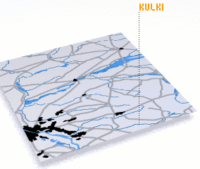 Places with similar names to Kulki, Poland ::
Disclaimer :: Information on this page comes without warranty of any kind |
||
|
Where is Kulki? Elevation and coordinates ::
Latitude (lat): 52°3'0"N Longitude (lon): 21°39'0"E
Elevation (approx.): 135m (map arrows pan, magnifying glasses zoom) |
||
|
Visiting Kulki? Hotel/Accommodation ::
Book a hotel in Kulki Travel Guide ::
Buy a travel guide for Poland rental cars ::
car rental offers GPS waypoint ::
download a GPX waypoint (PoI) of Kulki for your GPS receiver
|
||