|
search place name
|
||
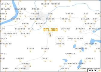
Otłowo (Poland)Otłowo is a town in Poland. An overview map of the region around Otłowo is displayed below.
regional and 3d topo map of Otłowo, Poland ::
Otłowo airports ::
The nearest airport is GDN - Gdansk Lecha Walesy, located 85.7 km north of Otłowo.
Other airports nearby include OSP - Slupsk Redzikowo (151.6 km north west), KGD - Kaliningrad Khrabrovo (172.5 km north east), Nearby towns ::
Otłówko (0.0km north) //
Bądki (1.9km north) //
Cygany (2.9km south east) //
Zebrdowo (4.3km south east) //
Bogusze (4.3km north west) //
Nicponie (5.6km north) //
Krzykosy (3.8km north east) //
Gardeja (5.7km south) //
Górki (7.4km north) //
Białki (4.8km north west) //
Rakowice (6.5km north east) //
Rozpędziny (6.5km north west) //
Pawlice (7.1km north east) //
Kwidzyn (8.1km north west) //
Dziwno (7.1km south west) //
Rakowiec (8.6km north east) //
Bożepole (8.6km south east) //
[all distances 'as the bird flies' and approximate] 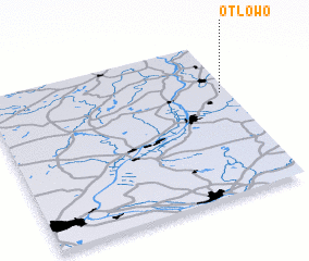
Disclaimer :: Information on this page comes without warranty of any kind |
||
|
Where is Otłowo? Elevation and coordinates ::
Latitude (lat): 53°40'0"N Longitude (lon): 18°58'0"E
Elevation (approx.): 88m (map arrows pan, magnifying glasses zoom) |
||
|
Visiting Otłowo? Hotel/Accommodation ::
Book a hotel in Otłowo Travel Guide ::
Buy a travel guide for Poland rental cars ::
car rental offers GPS waypoint ::
download a GPX waypoint (PoI) of Otłowo for your GPS receiver
|
||