|
search place name
|
||
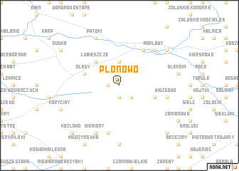
Płonowo (Poland)Płonowo is a town in Poland. An overview map of the region around Płonowo is displayed below.
regional and 3d topo map of Płonowo, Poland ::
Płonowo airports ::
The nearest airport is WAW - Warsaw Okecie, located 138.4 km south west of Płonowo.
Nearby towns ::
Spieszyn (1.9km south) //
Szmurły (1.1km west) //
Puchały Nowe (2.2km south east) //
Puchały (2.2km south east) //
Brzeźnica (3.7km north) //
Lubieszcze (4.3km north west) //
Puchały Stare (3.8km south east) //
Golonki (3.8km south east) //
Olędy (3.8km north west) //
Brańsk (6.0km north) //
Widzgowo (4.9km east) //
Czarna Cerkiewna (7.5km south) //
Popławy (6.5km north east) //
Siemiony (7.7km south) //
Patoki (7.7km north) //
Kiersnówek (7.1km north east) //
Dołubowo (8.7km south east) //
Kozłowo (8.7km south west) //
[all distances 'as the bird flies' and approximate] 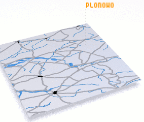 Places with similar names to Płonowo, Poland ::
Disclaimer :: Information on this page comes without warranty of any kind |
||
|
Where is Płonowo? Elevation and coordinates ::
Latitude (lat): 52°41'0"N Longitude (lon): 22°49'0"E
Elevation (approx.): 140m (map arrows pan, magnifying glasses zoom) |
||
|
Visiting Płonowo? Hotel/Accommodation ::
Book a hotel in Płonowo Travel Guide ::
Buy a travel guide for Poland rental cars ::
car rental offers GPS waypoint ::
download a GPX waypoint (PoI) of Płonowo for your GPS receiver
|
||