|
search place name
|
||
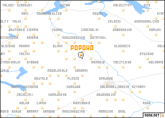
Popowo (Poland)Popowo is a town in Poland. An overview map of the region around Popowo is displayed below.
regional and 3d topo map of Popowo, Poland ::
Popowo airports ::
The nearest airport is KGD - Kaliningrad Khrabrovo, located 177.2 km north west of Popowo.
Other airports nearby include WAW - Warsaw Okecie (196.0 km south west), Nearby towns ::
Sołtmany (1.9km north) //
Kobylin (1.1km west) //
Prostki (1.1km east) //
Sokółki (2.2km south west) //
Długochorzele (2.2km west) //
Konopki (3.7km south) //
Niedźwiedzkie (3.9km north) //
Miłusze (2.9km north west) //
Lipińskie (3.9km north) //
Mierucie (2.9km south east) //
Bobry (4.3km north west) //
Ostrykół (4.3km north east) //
Cyprki (4.3km south west) //
Gorczyce (4.3km south west) //
Glinki (3.8km north west) //
Chochołki (5.7km north) //
Bogusze (3.8km south east) //
Flesze (5.7km south) //
Miechowo (5.0km north west) //
Rogale Małe (5.0km south west) //
Kurejwa (7.5km south) //
Zdunki (6.5km north west) //
Grajewo (6.5km south east) //
Marchewki (5.7km south west) //
Kurczątki (7.1km south west) //
Chojnówek (8.1km south west) //
Żelazki (8.6km north east) //
Kolonia Elżbiecin (8.6km south east) //
[all distances 'as the bird flies' and approximate] 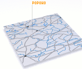 Places with similar names to Popowo, Poland ::
Disclaimer :: Information on this page comes without warranty of any kind |
||
|
Where is Popowo? Elevation and coordinates ::
Latitude (lat): 53°42'0"N Longitude (lon): 22°24'0"E
Elevation (approx.): 121m (map arrows pan, magnifying glasses zoom) |
||
|
Visiting Popowo? Hotel/Accommodation ::
Book a hotel in Popowo Travel Guide ::
Buy a travel guide for Poland rental cars ::
car rental offers GPS waypoint ::
download a GPX waypoint (PoI) of Popowo for your GPS receiver
|
||