|
search place name
|
||
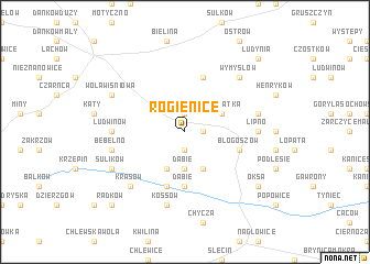
Rogienice (Poland)Rogienice is a town in Poland. An overview map of the region around Rogienice is displayed below.
regional and 3d topo map of Rogienice, Poland ::
Rogienice airports ::
The nearest airport is KTW - Katowice Pyrzowice, located 76.8 km south west of Rogienice.
Other airports nearby include KRK - Krakow Balice (80.7 km south), RZE - Rzeszow Jasionka (158.6 km south east), WAW - Warsaw Okecie (166.5 km north), OSR - Ostrava Mosnov (183.7 km south west), Nearby towns ::
Kolonia Boczkowice (1.9km south) //
Boczkowice (1.9km south) //
Konieczno (1.9km north) //
Ogarka (1.2km east) //
Dąbie (3.7km south) //
Dołowatka (3.0km north east) //
Rzeszówek (3.9km south) //
Skociszowa (3.9km south) //
Dąbie (5.6km south) //
Błogoszów (4.0km south east) //
Rząbiec (5.7km north) //
Podłazie (5.7km south) //
Lipno (4.7km east) //
Kobyla Wieś (4.7km west) //
Ludwinów (4.7km west) //
Kossów (7.5km south) //
Bebelno (5.0km west) //
Przygradów (5.0km east) //
Wymysłów (6.6km north east) //
Krasów (6.6km south west) //
Sulików (6.0km south west) //
Wola Wiśniowa (6.0km north west) //
Oksa (7.3km south east) //
Radków (8.8km south west) //
Ludynia (8.8km north east) //
[all distances 'as the bird flies' and approximate] 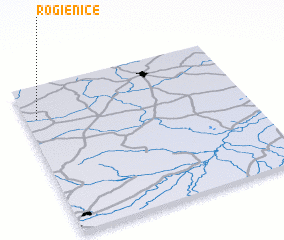 Places with similar names to Rogienice, Poland ::
Disclaimer :: Information on this page comes without warranty of any kind |
||
|
Where is Rogienice? Elevation and coordinates ::
Latitude (lat): 50°47'0"N Longitude (lon): 20°3'0"E
Elevation (approx.): 264m (map arrows pan, magnifying glasses zoom) |
||
|
Visiting Rogienice? Hotel/Accommodation ::
Book a hotel in Rogienice Travel Guide ::
Buy a travel guide for Poland rental cars ::
car rental offers GPS waypoint ::
download a GPX waypoint (PoI) of Rogienice for your GPS receiver
|
||