|
search place name
|
||
Ruda (Poland)Ruda is a town in Poland. An overview map of the region around Ruda is displayed below.
regional and 3d topo map of Ruda, Poland ::

Ruda airports ::
The nearest airport is WAW - Warsaw Okecie, located 35.7 km south of Ruda.
Nearby towns ::
Załubice Nowe (1.9km north) //
Mokre Nowe (2.2km south east) //
Borki (2.3km west) //
Łoś (2.3km east) //
Trzciana (2.9km north west) //
Załubice Stare (2.9km north west) //
Sokołówek (2.9km north east) //
Teodorów (2.9km north east) //
Mokre (2.9km south east) //
Mokre Stare (2.9km south east) //
Dąbrowa Arciechowska (3.9km north) //
Aleksandrów (5.6km south) //
Siwek (3.9km north west) //
Wolica (3.9km north west) //
Beniaminów (3.9km south west) //
Kania Polska (5.7km north) //
Popowo Piaski (5.7km north) //
Radzymin (6.0km south) //
Dąbrowa (6.0km north) //
Dąbrowa Radzymińska (6.0km north) //
Kuligów (6.0km north) //
Cegielnia (7.4km south) //
Słupno (7.4km south) //
Zawady (4.9km east) //
Wólka Radzymińska (6.5km south west) //
Stasiopole (6.5km north east) //
Kania Niemiecka (7.7km north) //
Popowo (7.7km north) //
Popowo Kościelne (7.7km north) //
[all distances 'as the bird flies' and approximate] 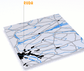 Places with similar names to Ruda, Poland ::
Disclaimer :: Information on this page comes without warranty of any kind |
||
|
Where is Ruda? Elevation and coordinates ::
Latitude (lat): 52°28'0"N Longitude (lon): 21°9'0"E
Elevation (approx.): 79m (map arrows pan, magnifying glasses zoom) |
||
|
Visiting Ruda? Hotel/Accommodation ::
Book a hotel in Ruda Travel Guide ::
Buy a travel guide for Poland rental cars ::
car rental offers GPS waypoint ::
download a GPX waypoint (PoI) of Ruda for your GPS receiver
|
||