|
search place name
|
||
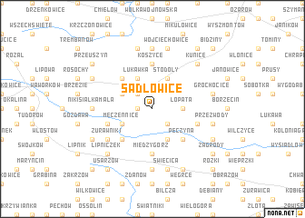
Sadłowice (Poland)Sadłowice is a town in Poland. An overview map of the region around Sadłowice is displayed below.
regional and 3d topo map of Sadłowice, Poland ::
Sadłowice airports ::
The nearest airport is RZE - Rzeszow Jasionka, located 81.5 km south east of Sadłowice.
Other airports nearby include KRK - Krakow Balice (149.0 km south west), WAW - Warsaw Okecie (159.3 km north), TAT - Poprad Tatry (212.6 km south west), Nearby towns ::
Lisów (1.2km west) //
Pielaszów (2.2km south east) //
Kolonia Lisów (2.2km north west) //
Hultajka (2.2km north west) //
Łopata (2.3km east) //
Dobrocice (3.9km south) //
Stodoły (3.9km north) //
Męczennice (3.0km south west) //
Łukawka (3.9km north) //
Gierczyce (3.0km north west) //
Pęczyna (4.4km south east) //
Słaboszewice (4.4km south west) //
Kaliszany (4.4km north west) //
Koszyce (5.6km north) //
Międzygórz (5.6km south) //
Malice Kośćielne (4.0km south west) //
Daromin (4.0km south east) //
Żurawniki (5.1km south west) //
Kleczanów (7.4km south) //
Nikisiałka Duża (4.7km west) //
Mierzanowice (7.4km north) //
Nikisiałka Mała (4.7km west) //
Przezwody (5.0km east) //
Święcica (7.5km south) //
Grochocice (5.0km east) //
Wojciechowice (7.5km north) //
Buszkowice (7.5km north) //
Kunice (6.6km north east) //
Gołębiów (6.6km south west) //
[all distances 'as the bird flies' and approximate] 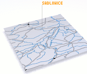 Places with similar names to Sadłowice, Poland ::
// Zadłowice (PL)
Disclaimer :: Information on this page comes without warranty of any kind |
||
|
Where is Sadłowice? Elevation and coordinates ::
Latitude (lat): 50°47'0"N Longitude (lon): 21°34'0"E
Elevation (approx.): 199m (map arrows pan, magnifying glasses zoom) |
||
|
Visiting Sadłowice? Hotel/Accommodation ::
Book a hotel in Sadłowice Travel Guide ::
Buy a travel guide for Poland rental cars ::
car rental offers GPS waypoint ::
download a GPX waypoint (PoI) of Sadłowice for your GPS receiver
|
||