|
search place name
|
||
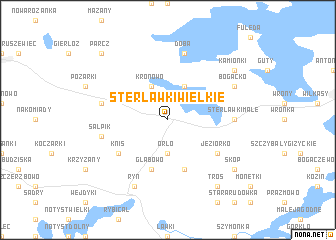
Sterławki Wielkie (Poland)Sterławki Wielkie is a town in Poland. An overview map of the region around Sterławki Wielkie is displayed below.
regional and 3d topo map of Sterławki Wielkie, Poland ::
Sterławki Wielkie airports ::
The nearest airport is KGD - Kaliningrad Khrabrovo, located 116.5 km north west of Sterławki Wielkie.
Other airports nearby include WAW - Warsaw Okecie (210.1 km south), Nearby towns ::
Orło (3.7km south) //
Kronowo (3.9km north) //
Grzybowo (3.9km north) //
Głąbowo (5.7km south) //
Bachorza (5.7km south) //
Jeziorko (4.9km south east) //
Knis (4.9km south west) //
Sterławki Małe (4.4km east) //
Martiany (4.7km north west) //
Doba (7.5km north) //
Salpik (4.7km south west) //
Bogacko (5.7km north east) //
Ryn (7.7km south) //
Kamionki (7.1km north east) //
Tros (8.1km south east) //
Skop (7.1km south east) //
Parcz (8.6km north west) //
[all distances 'as the bird flies' and approximate] 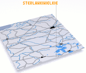 Places with similar names to Sterławki Wielkie, Poland ::
// Starołęka Wielka (PL)
Disclaimer :: Information on this page comes without warranty of any kind |
||
|
Where is Sterławki Wielkie? Elevation and coordinates ::
Latitude (lat): 54°1'0"N Longitude (lon): 21°35'0"E
Elevation (approx.): 117m (map arrows pan, magnifying glasses zoom) |
||
|
Visiting Sterławki Wielkie? Hotel/Accommodation ::
Book a hotel in Sterławki Wielkie Travel Guide ::
Buy a travel guide for Poland rental cars ::
car rental offers GPS waypoint ::
download a GPX waypoint (PoI) of Sterławki Wielkie for your GPS receiver
|
||