|
search place name
|
||
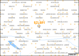
Szłapy (Poland)Szłapy is a town in Poland. An overview map of the region around Szłapy is displayed below.
regional and 3d topo map of Szłapy, Poland ::
Szłapy airports ::
The nearest airport is WAW - Warsaw Okecie, located 127.9 km east of Szłapy.
Other airports nearby include KTW - Katowice Pyrzowice (182.7 km south), Nearby towns ::
Golbice (1.9km south) //
Sławęcin (2.2km north west) //
Borów (2.2km south west) //
Zagrobki (3.7km north) //
Budki (2.3km west) //
Siemszyce (3.7km south) //
Kolonia Zawada (3.7km south) //
Gąsiorów (3.9km north) //
Drzykozy (3.9km north) //
Mikołajew (2.9km south east) //
Chorki (2.9km south west) //
Błonie (4.4km south east) //
Zieleniew (5.6km north) //
Besk Nowy (3.4km west) //
Besk Stary (3.4km west) //
Zawada (5.6km south) //
Siedlec (3.9km north east) //
Smolice (3.9km south west) //
Odechów (6.0km north) //
Łęka (5.0km south west) //
Kolonia Grabów (4.6km west) //
Mazew (7.5km north) //
Łubno (7.5km north) //
Pusta Wieś (4.9km west) //
Dąbie (4.9km east) //
Garbalin (4.9km east) //
Bronno (7.5km south) //
Jarochówek (6.5km north east) //
Sławoszew (5.9km north east) //
[all distances 'as the bird flies' and approximate] 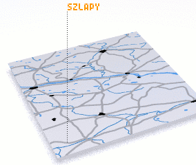 Places with similar names to Szłapy, Poland ::
Disclaimer :: Information on this page comes without warranty of any kind |
||
|
Where is Szłapy? Elevation and coordinates ::
Latitude (lat): 52°7'0"N Longitude (lon): 19°6'0"E
Elevation (approx.): 115m (map arrows pan, magnifying glasses zoom) |
||
|
Visiting Szłapy? Hotel/Accommodation ::
Book a hotel in Szłapy Travel Guide ::
Buy a travel guide for Poland rental cars ::
car rental offers GPS waypoint ::
download a GPX waypoint (PoI) of Szłapy for your GPS receiver
|
||