|
search place name
|
||
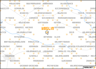
Wąglin (Poland)Wąglin is a town in Poland. An overview map of the region around Wąglin is displayed below.
regional and 3d topo map of Wąglin, Poland ::
Wąglin airports ::
The nearest airport is KTW - Katowice Pyrzowice, located 83.1 km south west of Wąglin.
Other airports nearby include KRK - Krakow Balice (120.1 km south), WAW - Warsaw Okecie (148.1 km north east), OSR - Ostrava Mosnov (192.6 km south west), Nearby towns ::
Antoniów (1.9km south) //
Borzęcin (2.2km north east) //
Gosławice (3.9km south) //
Gertrudów (3.9km north) //
Widawka (3.9km south) //
Klizin (3.0km south east) //
Wola Kotkowska (3.0km north east) //
Kotków (4.4km north east) //
Zakrzew Wielki (5.6km south) //
Kocierzowy (3.5km west) //
Szczukocice (5.6km north) //
Moczydła (5.7km south) //
Plucice (5.7km north) //
Piaszczyce (5.1km south west) //
Wólka Pytowska (5.1km south east) //
Chrzanowice (6.0km north west) //
Kolonia Plucice (6.0km north east) //
Lipowczyce (4.7km east) //
Łagiewniki (7.4km south) //
Hucisko (5.0km west) //
Kolonia Żuchowice (7.5km north) //
Gorzkowice (7.5km north) //
Kodrąb (6.6km south east) //
Konradów (6.6km south west) //
Chruścin (6.6km north west) //
Bugaj Dmeniński (7.8km south) //
Antopol (7.8km south) //
Gorzędów (7.8km north) //
Krzemieniewice (5.9km north east) //
[all distances 'as the bird flies' and approximate] 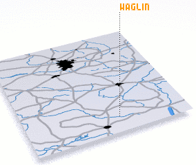 Places with similar names to Wąglin, Poland ::
Disclaimer :: Information on this page comes without warranty of any kind |
||
|
Where is Wąglin? Elevation and coordinates ::
Latitude (lat): 51°9'0"N Longitude (lon): 19°35'0"E
Elevation (approx.): 249m (map arrows pan, magnifying glasses zoom) |
||
|
Visiting Wąglin? Hotel/Accommodation ::
Book a hotel in Wąglin Travel Guide ::
Buy a travel guide for Poland rental cars ::
car rental offers GPS waypoint ::
download a GPX waypoint (PoI) of Wąglin for your GPS receiver
|
||