|
search place name
|
||
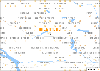
Walentowo (Poland)Walentowo is a town in Poland. An overview map of the region around Walentowo is displayed below.
regional and 3d topo map of Walentowo, Poland ::
Walentowo airports ::
The nearest airport is WAW - Warsaw Okecie, located 157.5 km south east of Walentowo.
Other airports nearby include GDN - Gdansk Lecha Walesy (164.8 km north), OSP - Slupsk Redzikowo (213.3 km north west), KGD - Kaliningrad Khrabrovo (241.1 km north east), Nearby towns ::
Makowiska (2.2km south east) //
Niedźwiedź (2.2km north east) //
Rumunki Wola (2.9km south east) //
Osówka (2.9km south west) //
Kijaszkowiec (3.9km north) //
Kolonia Steklin (2.9km south west) //
Steklinek (3.9km north) //
Trutowo (4.3km north east) //
Szkleniec (3.4km west) //
Mazowsze (5.6km north) //
Kiełpiny (5.7km south) //
Parcele Mazowsze (5.7km north) //
Jackowo (3.8km north west) //
Wola (3.8km north east) //
Bernardowo (5.0km north west) //
Wizendorf Stary (6.0km south) //
Wizendorf Nowy (7.4km south) //
Lubin (4.5km east) //
Wygoda (4.5km west) //
Lubinek (4.8km north east) //
Rumunki Sumin (5.8km south east) //
Świętosław (7.7km north) //
Liciszewy (7.1km north east) //
Jankowo (8.7km south east) //
[all distances 'as the bird flies' and approximate] 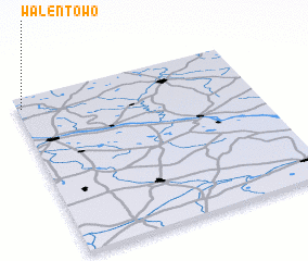
Disclaimer :: Information on this page comes without warranty of any kind |
||
|
Where is Walentowo? Elevation and coordinates ::
Latitude (lat): 52°56'0"N Longitude (lon): 19°1'0"E
Elevation (approx.): 102m (map arrows pan, magnifying glasses zoom) |
||
|
Visiting Walentowo? Hotel/Accommodation ::
Book a hotel in Walentowo Travel Guide ::
Buy a travel guide for Poland rental cars ::
car rental offers GPS waypoint ::
download a GPX waypoint (PoI) of Walentowo for your GPS receiver
|
||