|
search place name
|
||
Węgielnia (Poland)Węgielnia is a town in Poland. An overview map of the region around Węgielnia is displayed below.
regional and 3d topo map of Węgielnia, Poland ::

Węgielnia airports ::
The nearest airport is IEG - Zielona Gora Babimost, located 36.0 km south west of Węgielnia.
Other airports nearby include POZ - Poznan Lawica (51.7 km east), SZZ - Szczechin Goleniow (151.7 km north west), WRO - Wroclaw Strachowice (156.8 km south), BBJ - Bautzen (172.9 km south west), Nearby towns ::
Grudna (1.1km east) //
Grudzianka (1.9km north) //
Bolewicko (2.2km south east) //
Krzywy Las (2.9km north east) //
Komorowice (3.9km north) //
Sępolno (4.3km south west) //
Grońsko (3.9km north east) //
Zębowo (6.0km north) //
Komorowo (5.0km north east) //
Bolewice (4.9km east) //
Błaki (4.9km west) //
Toczeń (7.2km south west) //
Wymyślanka (8.7km north east) //
[all distances 'as the bird flies' and approximate] 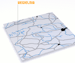
Disclaimer :: Information on this page comes without warranty of any kind |
||
|
Where is Węgielnia? Elevation and coordinates ::
Latitude (lat): 52°25'0"N Longitude (lon): 16°4'0"E
Elevation (approx.): 92m (map arrows pan, magnifying glasses zoom) |
||
|
Visiting Węgielnia? Hotel/Accommodation ::
Book a hotel in Węgielnia Travel Guide ::
Buy a travel guide for Poland rental cars ::
car rental offers GPS waypoint ::
download a GPX waypoint (PoI) of Węgielnia for your GPS receiver
|
||