|
search place name
|
||
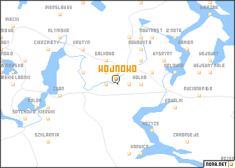
Wojnowo (Poland)Wojnowo is a town in Poland. An overview map of the region around Wojnowo is displayed below.
regional and 3d topo map of Wojnowo, Poland ::
Wojnowo airports ::
The nearest airport is KGD - Kaliningrad Khrabrovo, located 148.0 km north west of Wojnowo.
Other airports nearby include WAW - Warsaw Okecie (170.6 km south), Nearby towns ::
Zameczek (1.9km north) //
Chostka (1.1km west) //
Piotrowo (1.1km east) //
Ukta (2.2km north west) //
Iwanowo (2.2km north west) //
Wólka (2.2km east) //
Osiniak-Piotrowo (2.2km east) //
Osiniak (2.2km east) //
Gałkowo (3.9km north) //
Śwignajno Małe (4.3km north east) //
Śwignajno Wielkie (3.8km north east) //
Ładne Pole (3.8km north east) //
Krutyński Piecek (3.8km north west) //
Nowa Ukta (6.0km north) //
Kadzidłowo (7.5km north) //
Krutyń (6.5km north west) //
Bubrówko (7.7km north) //
Wygryny (5.7km north east) //
Nowy Most (8.1km north east) //
Krzyże (8.1km south east) //
[all distances 'as the bird flies' and approximate] 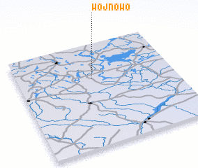
Disclaimer :: Information on this page comes without warranty of any kind |
||
|
Where is Wojnowo? Elevation and coordinates ::
Latitude (lat): 53°40'0"N Longitude (lon): 21°29'0"E
Elevation (approx.): 123m (map arrows pan, magnifying glasses zoom) |
||
|
Visiting Wojnowo? Hotel/Accommodation ::
Book a hotel in Wojnowo Travel Guide ::
Buy a travel guide for Poland rental cars ::
car rental offers GPS waypoint ::
download a GPX waypoint (PoI) of Wojnowo for your GPS receiver
|
||