|
search place name
|
||
Wola (Poland)Wola is a town in Poland. An overview map of the region around Wola is displayed below.
regional and 3d topo map of Wola, Poland ::

Wola airports ::
The nearest airport is RZE - Rzeszow Jasionka, located 54.2 km north west of Wola.
Other airports nearby include LWO - Lvov Lviv Intl (114.3 km east), KSC - Kosice (140.8 km south west), SUJ - Satu Mare (223.3 km south), Nearby towns ::
Brzezawa (1.2km west) //
Rosuszka (1.9km south) //
Lipa Dolna (1.9km north) //
Dobrzanka (2.2km south east) //
Lipa (3.7km north) //
Lipa Górna (3.7km north) //
Malawa (2.4km east) //
Ropa (3.0km south west) //
Lachawa (3.9km south) //
Kuzie (4.4km north east) //
Żohatyń (6.1km north west) //
Kotów (6.1km north east) //
Zabereski (5.2km north east) //
Leszczawka (6.1km south east) //
Kręców (7.5km south) //
Dobra Rustykalna (5.1km west) //
Pracówka (7.5km north) //
Leszczawa Dolna (5.1km east) //
Bircza Stara (5.1km east) //
Leszczawa Górna (6.1km south east) //
Rudawka (6.1km north east) //
Kużmina (8.2km south east) //
Jawornik Ruski (7.3km north west) //
Szmidówka (7.3km north east) //
[all distances 'as the bird flies' and approximate] 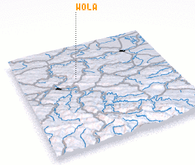 Places with similar names to Wola, Poland ::
Disclaimer :: Information on this page comes without warranty of any kind |
||
|
Where is Wola? Elevation and coordinates ::
Latitude (lat): 49°41'0"N Longitude (lon): 22°23'0"E
Elevation (approx.): 416m (map arrows pan, magnifying glasses zoom) |
||
|
Visiting Wola? Hotel/Accommodation ::
Book a hotel in Wola Travel Guide ::
Buy a travel guide for Poland rental cars ::
car rental offers GPS waypoint ::
download a GPX waypoint (PoI) of Wola for your GPS receiver
|
||