|
search place name
|
||
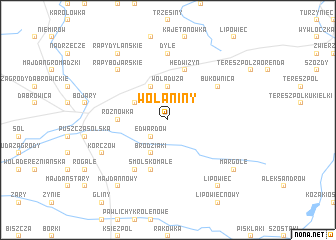
Wolaniny (Poland)Wolaniny is a town in Poland. An overview map of the region around Wolaniny is displayed below.
regional and 3d topo map of Wolaniny, Poland ::
Wolaniny airports ::
The nearest airport is RZE - Rzeszow Jasionka, located 72.9 km south west of Wolaniny.
Other airports nearby include LWO - Lvov Lviv Intl (115.1 km south east), WAW - Warsaw Okecie (222.0 km north west), KSC - Kosice (236.6 km south west), Nearby towns ::
Edwardów (2.2km south west) //
Wola Duża (3.7km north) //
Wola Mała (3.0km north west) //
Brodziaki (3.9km south) //
Wola (3.9km north) //
Rożnówka (3.5km west) //
Hedwiżyn (5.7km north) //
Smólsko Małe (5.7km south) //
Smólsko (6.0km south west) //
Bukownica (5.1km north east) //
Dyle (7.4km north) //
Rapy Bojarskie (6.6km north west) //
Korczów (6.0km south west) //
Majdan Nowy (8.2km south west) //
Lipowiec (8.2km south east) //
Rapy Dylanskie (8.2km north west) //
Margole (7.3km south east) //
[all distances 'as the bird flies' and approximate] 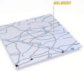
Disclaimer :: Information on this page comes without warranty of any kind |
||
|
Where is Wolaniny? Elevation and coordinates ::
Latitude (lat): 50°32'0"N Longitude (lon): 22°48'0"E
Elevation (approx.): 213m (map arrows pan, magnifying glasses zoom) |
||
|
Visiting Wolaniny? Hotel/Accommodation ::
Book a hotel in Wolaniny Travel Guide ::
Buy a travel guide for Poland rental cars ::
car rental offers GPS waypoint ::
download a GPX waypoint (PoI) of Wolaniny for your GPS receiver
|
||