|
search place name
|
||
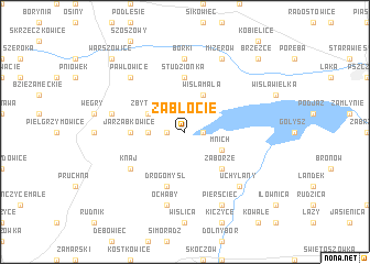
Zabłocie (Poland)Zabłocie is a town in Poland. An overview map of the region around Zabłocie is displayed below.
regional and 3d topo map of Zabłocie, Poland ::
Zabłocie airports ::
The nearest airport is OSR - Ostrava Mosnov, located 54.2 km south west of Zabłocie.
Other airports nearby include KTW - Katowice Pyrzowice (65.5 km north), KRK - Krakow Balice (74.0 km east), PRV - Prerov (113.5 km south west), TAT - Poprad Tatry (141.2 km south east), Nearby towns ::
Strumień (1.2km west) //
Frelichów (1.2km east) //
Bąków (2.4km west) //
Zbytków (3.0km north west) //
Wisła Mała (3.9km north) //
Chybie (3.0km south east) //
Mnich (3.0km south east) //
Zaborze (4.4km south east) //
Jarząbkowice (3.6km west) //
Studzionka (5.6km north) //
Drogomyśl (5.7km south) //
Knaj (5.2km south west) //
Borki (7.4km north) //
Mała Strona (5.1km west) //
Ochaby (7.5km south) //
Pawłowice (6.6km north west) //
Uchylany (6.6km south east) //
Mizerów (7.8km north) //
Pierściec (7.8km south) //
Warszowice (8.8km north west) //
Brzeźce (8.8km north east) //
[all distances 'as the bird flies' and approximate] 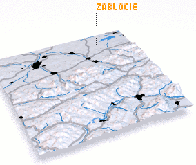 Places with similar names to Zabłocie, Poland ::
Disclaimer :: Information on this page comes without warranty of any kind |
||
|
Where is Zabłocie? Elevation and coordinates ::
Latitude (lat): 49°55'0"N Longitude (lon): 18°47'0"E
Elevation (approx.): 253m (map arrows pan, magnifying glasses zoom) |
||
|
Visiting Zabłocie? Hotel/Accommodation ::
Book a hotel in Zabłocie Travel Guide ::
Buy a travel guide for Poland rental cars ::
car rental offers GPS waypoint ::
download a GPX waypoint (PoI) of Zabłocie for your GPS receiver
|
||