|
search place name
|
||
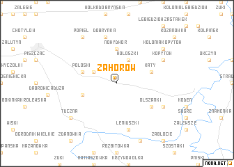
Zahorów (Poland)Zahorów is a town in Poland. An overview map of the region around Zahorów is displayed below.
regional and 3d topo map of Zahorów, Poland ::
Zahorów airports ::
The nearest airport is RZE - Rzeszow Jasionka, located 227.9 km south west of Zahorów.
Nearby towns ::
Trojanów (2.9km north west) //
Wołoszki (3.9km north) //
Nowy Dwór (5.6km north) //
Choroszczynka (3.9km south west) //
Kąty (3.9km north east) //
Połoski (3.9km north west) //
Olszanki (5.0km south east) //
Leniuszki (7.5km south) //
Dobrynka (7.5km north) //
Dobromyśl (5.9km south east) //
Kopytów (5.9km north east) //
Kolonia Kopytów (7.2km north east) //
Popiel (8.2km north west) //
Tuczna (7.2km south west) //
[all distances 'as the bird flies' and approximate] 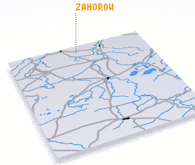 Places with similar names to Zahorów, Poland ::
Disclaimer :: Information on this page comes without warranty of any kind |
||
|
Where is Zahorów? Elevation and coordinates ::
Latitude (lat): 51°56'0"N Longitude (lon): 23°30'0"E
Elevation (approx.): 144m (map arrows pan, magnifying glasses zoom) |
||
|
Visiting Zahorów? Hotel/Accommodation ::
Book a hotel in Zahorów Travel Guide ::
Buy a travel guide for Poland rental cars ::
car rental offers GPS waypoint ::
download a GPX waypoint (PoI) of Zahorów for your GPS receiver
|
||