|
search place name
|
||
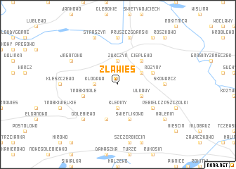
Zła Wieś (Poland)Zła Wieś is a town in Poland. An overview map of the region around Zła Wieś is displayed below.
regional and 3d topo map of Zła Wieś, Poland ::
Zła Wieś airports ::
The nearest airport is GDN - Gdansk Lecha Walesy, located 22.1 km north west of Zła Wieś.
Other airports nearby include OSP - Slupsk Redzikowo (102.9 km west), KGD - Kaliningrad Khrabrovo (149.2 km north east), POZ - Poznan Lawica (231.2 km south west), Nearby towns ::
Żukczyn (3.7km north) //
Klępiny (3.7km south) //
Kłodawa (2.2km west) //
Łęgowo (2.9km north east) //
Ulkowy (2.9km south east) //
Cieplewo (4.3km north east) //
Świetlikowo (5.7km south) //
Różyny (3.7km north east) //
Trąbki Małe (3.7km south west) //
Kaczki (3.7km south west) //
Sobowidz (5.7km south) //
Rębielcz (4.9km south east) //
Skowarcz (4.3km east) //
Juszkowo (7.4km north) //
Pruszcz Gdański (7.5km north) //
Gołębiewo (6.4km south west) //
Jagatowo (5.7km north west) //
Straszyn (7.7km north) //
Malenin (7.1km south east) //
Pruska Plebanka (8.1km north east) //
Roszkowo (8.6km north east) //
[all distances 'as the bird flies' and approximate] 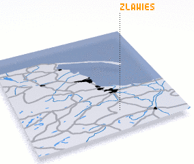 Places with similar names to Zła Wieś, Poland ::
Disclaimer :: Information on this page comes without warranty of any kind |
||
|
Where is Zła Wieś? Elevation and coordinates ::
Latitude (lat): 54°12'0"N Longitude (lon): 18°37'0"E
Elevation (approx.): 57m (map arrows pan, magnifying glasses zoom) |
||
|
Visiting Zła Wieś? Hotel/Accommodation ::
Book a hotel in Zła Wieś Travel Guide ::
Buy a travel guide for Poland rental cars ::
car rental offers GPS waypoint ::
download a GPX waypoint (PoI) of Zła Wieś for your GPS receiver
|
||