|
search place name
|
||
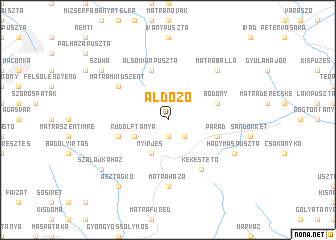
Áldozó (Heves, Hungary)Áldozó is a town in the Heves region of Hungary. An overview map of the region around Áldozó is displayed below.
regional and 3d topo map of Áldozó, Hungary ::
Áldozó airports ::
The nearest airport is BUD - Budapest Ferihegy, located 77.7 km south west of Áldozó.
Other airports nearby include SLD - Sliac (100.5 km north west), KSC - Kosice (123.7 km north east), TAT - Poprad Tatry (128.2 km north), DEB - Debrecen (132.1 km east), Nearby towns ::
Parádsasvár (1.9km south) //
Fényespuszta (2.2km south east) //
Nyírjes (3.9km south) //
Rudolftanya (3.1km south west) //
Parád (4.2km south east) //
Alsóivánpuszta (5.7km north) //
Galyatető (4.2km south west) //
Bodony (4.2km north east) //
Felsőivánpuszta (5.3km north west) //
Mátramindszent (5.3km north west) //
Kékestető (6.1km south east) //
Mátraháza (7.4km south) //
Mátraballa (6.7km north east) //
Ballai Völgy (6.7km north east) //
Hagymáspuszta (6.2km south east) //
Asztag-kő (8.3km south west) //
Szuha (7.5km north west) //
Szalajkaház (7.5km south west) //
[all distances 'as the bird flies' and approximate] 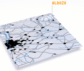 Places with similar names to Áldozó, Hungary ::
Disclaimer :: Information on this page comes without warranty of any kind |
||
|
Where is Áldozó? Elevation and coordinates ::
Latitude (lat): 47°56'0"N Longitude (lon): 19°59'0"E
Elevation (approx.): 289m (map arrows pan, magnifying glasses zoom) |
||
|
Visiting Áldozó? Hotel/Accommodation ::
Book a hotel in Áldozó Travel Guide ::
Buy a travel guide for Hungary rental cars ::
car rental offers GPS waypoint ::
download a GPX waypoint (PoI) of Áldozó for your GPS receiver
|
||