|
search place name
|
||
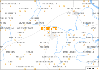
Aranytó (Tolna, Hungary)Aranytó is a town in the Tolna region of Hungary. An overview map of the region around Aranytó is displayed below.
regional and 3d topo map of Aranytó, Hungary ::
Aranytó airports ::
The nearest airport is OSI - Osijek, located 99.0 km south of Aranytó.
Other airports nearby include BUD - Budapest Ferihegy (128.0 km north), BEG - Beograd (211.5 km south east), BTS - Bratislava M R Stefanik (231.6 km north west), Nearby towns ::
Cinka (0.0km north) //
Bagóvölgy (0.0km north) //
Balparászta (0.0km north) //
Bárányfok (0.0km north) //
Bartina (0.0km north) //
Benedekvölgy (0.0km north) //
Borkút (0.0km north) //
Bükkvölgy (0.0km north) //
Csötönyivölgy (0.0km north) //
Csurgó (0.0km north) //
Faluhely (0.0km north) //
Gesztenyés (0.0km north) //
Gubacorr (0.0km north) //
Gulyásvölgy (0.0km north) //
Hidaspetre (0.0km north) //
Hosszúvölgy (0.0km north) //
Ivánvölgy (0.0km north) //
Jobbparászta (0.0km north) //
Kendergyár (0.0km north) //
Kisbaranya (0.0km north) //
Kispalánk (0.0km north) //
Nagybaranya (0.0km north) //
Porkolábvölgy (0.0km north) //
Rövidvölgy (0.0km north) //
Szászipuszta (0.0km north) //
Gyůszůvölgy (0.0km north) //
Előhegy (1.3km west) //
Szekszárd (1.3km east) //
Palánkihegy (1.9km north) //
[all distances 'as the bird flies' and approximate] 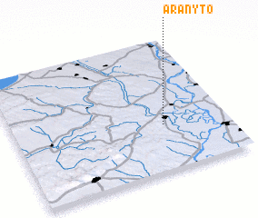 Places with similar names to Aranytó, Hungary ::
Disclaimer :: Information on this page comes without warranty of any kind |
||
|
Where is Aranytó? Elevation and coordinates ::
Latitude (lat): 46°21'0"N Longitude (lon): 18°42'0"E
Elevation (approx.): 98m (map arrows pan, magnifying glasses zoom) |
||
|
Visiting Aranytó? Hotel/Accommodation ::
Book a hotel in Aranytó Travel Guide ::
Buy a travel guide for Hungary rental cars ::
car rental offers GPS waypoint ::
download a GPX waypoint (PoI) of Aranytó for your GPS receiver
|
||