|
search place name
|
||
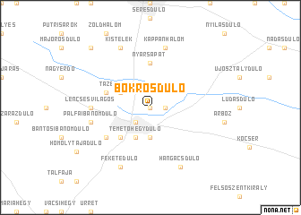
Bokrosdůlő (Pest, Hungary)Bokrosdůlő is a town in the Pest region of Hungary. An overview map of the region around Bokrosdůlő is displayed below.
regional and 3d topo map of Bokrosdůlő, Hungary ::
Bokrosdůlő airports ::
The nearest airport is BUD - Budapest Ferihegy, located 59.6 km north west of Bokrosdůlő.
Other airports nearby include DEB - Debrecen (145.8 km east), ARW - Arad (148.2 km south east), TSR - Timisoara Traian Vuia (181.6 km south east), SLD - Sliac (183.4 km north), Nearby towns ::
Hosszúhátdůlő (0.0km north) //
Alsófüzes (1.3km east) //
Vízállásgátér (2.2km south west) //
Földvárdůlő (2.2km south west) //
Nyárkútrétdůlő (2.2km south west) //
Nagykőrös (2.2km south west) //
Kálmánhegydůlő (3.7km south) //
Temetőhegydůlő (3.9km south) //
Tázerdődůlő (3.1km north west) //
Kürtilaposdůlő (4.5km south west) //
Nyársapát (5.6km north) //
Pöcökdůlő (4.2km north west) //
Barátszilosdůlő (5.3km south west) //
Lencsésvilágos (5.1km west) //
Pálfaibánomdůlő (5.4km west) //
Kappanhalom (7.5km north) //
Hangácsdůlő (7.8km south) //
Feketedůlő (7.8km south) //
Kistelek (7.8km north) //
Balladůlő (9.0km north west) //
[all distances 'as the bird flies' and approximate] 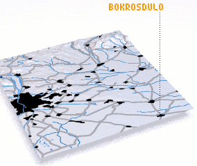 Places with similar names to Bokrosdůlő, Hungary ::
// Bekkersdal (ZA)
// Bogaras-důlő (HU)
Disclaimer :: Information on this page comes without warranty of any kind |
||
|
Where is Bokrosdůlő? Elevation and coordinates ::
Latitude (lat): 47°3'0"N Longitude (lon): 19°48'0"E
Elevation (approx.): 108m (map arrows pan, magnifying glasses zoom) |
||
|
Visiting Bokrosdůlő? Hotel/Accommodation ::
Book a hotel in Bokrosdůlő Travel Guide ::
Buy a travel guide for Hungary rental cars ::
car rental offers GPS waypoint ::
download a GPX waypoint (PoI) of Bokrosdůlő for your GPS receiver
|
||