|
search place name
|
||
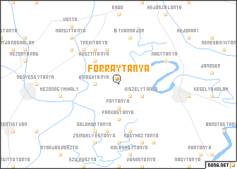
Forraytanya (Borsod-Abaúj-Zemplén, Hungary)Forraytanya is a town in the Borsod-Abaúj-Zemplén region of Hungary. An overview map of the region around Forraytanya is displayed below.
regional and 3d topo map of Forraytanya, Hungary ::
Forraytanya airports ::
The nearest airport is DEB - Debrecen, located 71.2 km south east of Forraytanya.
Other airports nearby include KSC - Kosice (97.5 km north), OMR - Oradea (121.6 km south east), BUD - Budapest Ferihegy (125.3 km west), TAT - Poprad Tatry (144.3 km north), Nearby towns ::
Bársonytanya (2.2km south east) //
Fáytanya (3.7km south) //
Virághtanya (2.5km west) //
Demjéntanya (2.5km west) //
Gelej (2.5km west) //
Kiszelytanya (3.1km south east) //
Husztitanya (4.5km north west) //
Farkastanya (5.6km south) //
Kubiktanya (5.7km north) //
Gombatanya (6.1km north west) //
Trékitanya (6.1km north west) //
Gólyástanya (7.5km south) //
Nagyecsér (7.5km south) //
Kisecsértanya (7.5km south) //
Istvánmajor (7.5km north) //
Csincsetanya (6.7km north west) //
Salamontanya (7.8km south) //
Igrici (6.2km north east) //
Nagytanya (6.2km north east) //
Lengyeltanya (7.5km north west) //
Margittanya (8.9km north west) //
[all distances 'as the bird flies' and approximate] 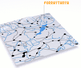 Places with similar names to Forraytanya, Hungary ::
// Vërtnoye (RU)
Disclaimer :: Information on this page comes without warranty of any kind |
||
|
Where is Forraytanya? Elevation and coordinates ::
Latitude (lat): 47°50'0"N Longitude (lon): 20°49'0"E
Elevation (approx.): 93m (map arrows pan, magnifying glasses zoom) |
||
|
Visiting Forraytanya? Hotel/Accommodation ::
Book a hotel in Forraytanya Travel Guide ::
Buy a travel guide for Hungary rental cars ::
car rental offers GPS waypoint ::
download a GPX waypoint (PoI) of Forraytanya for your GPS receiver
|
||